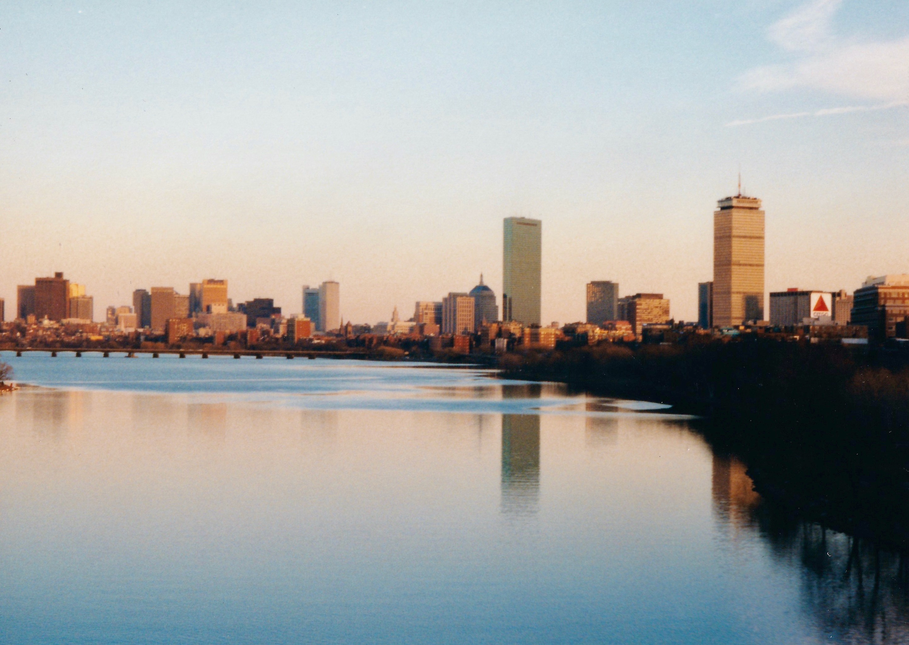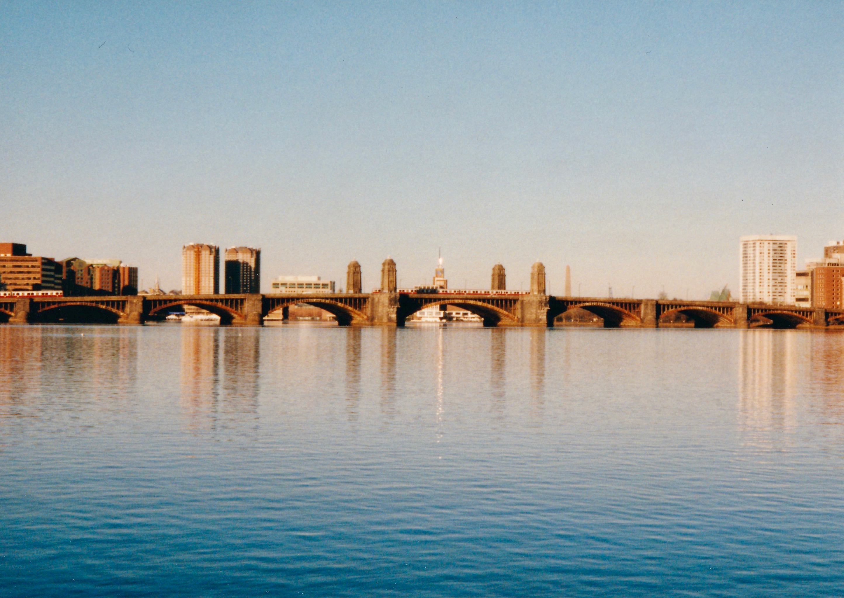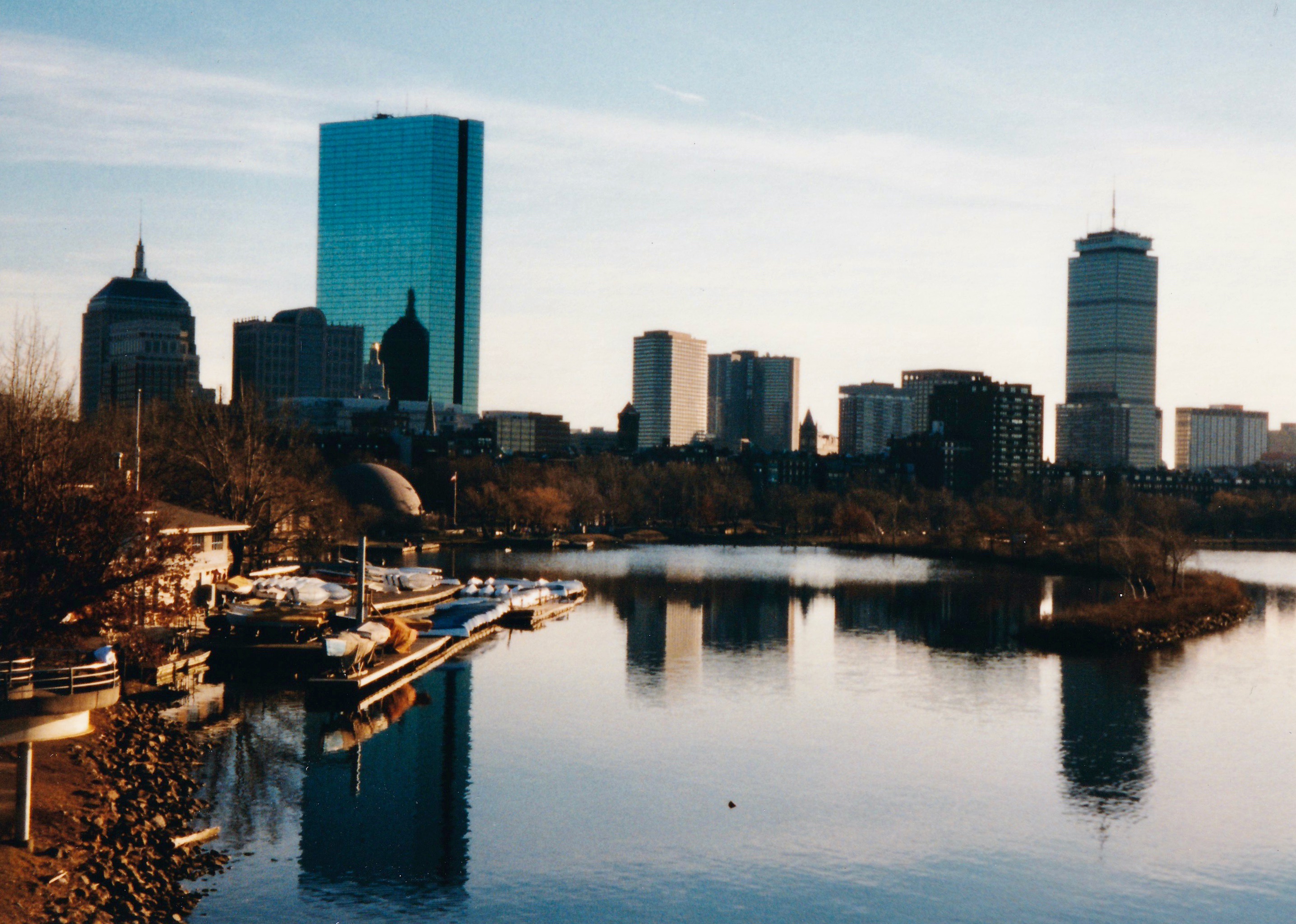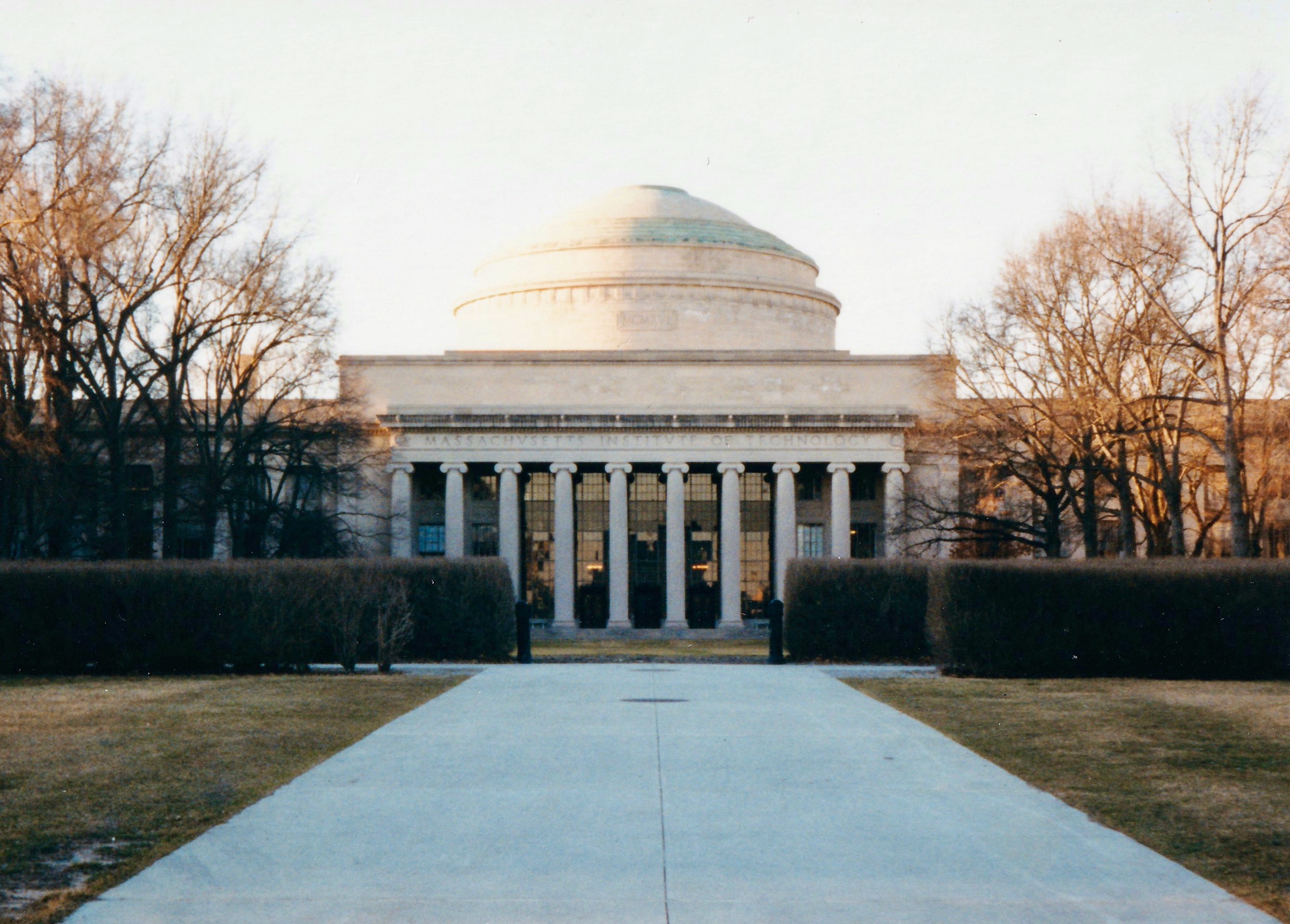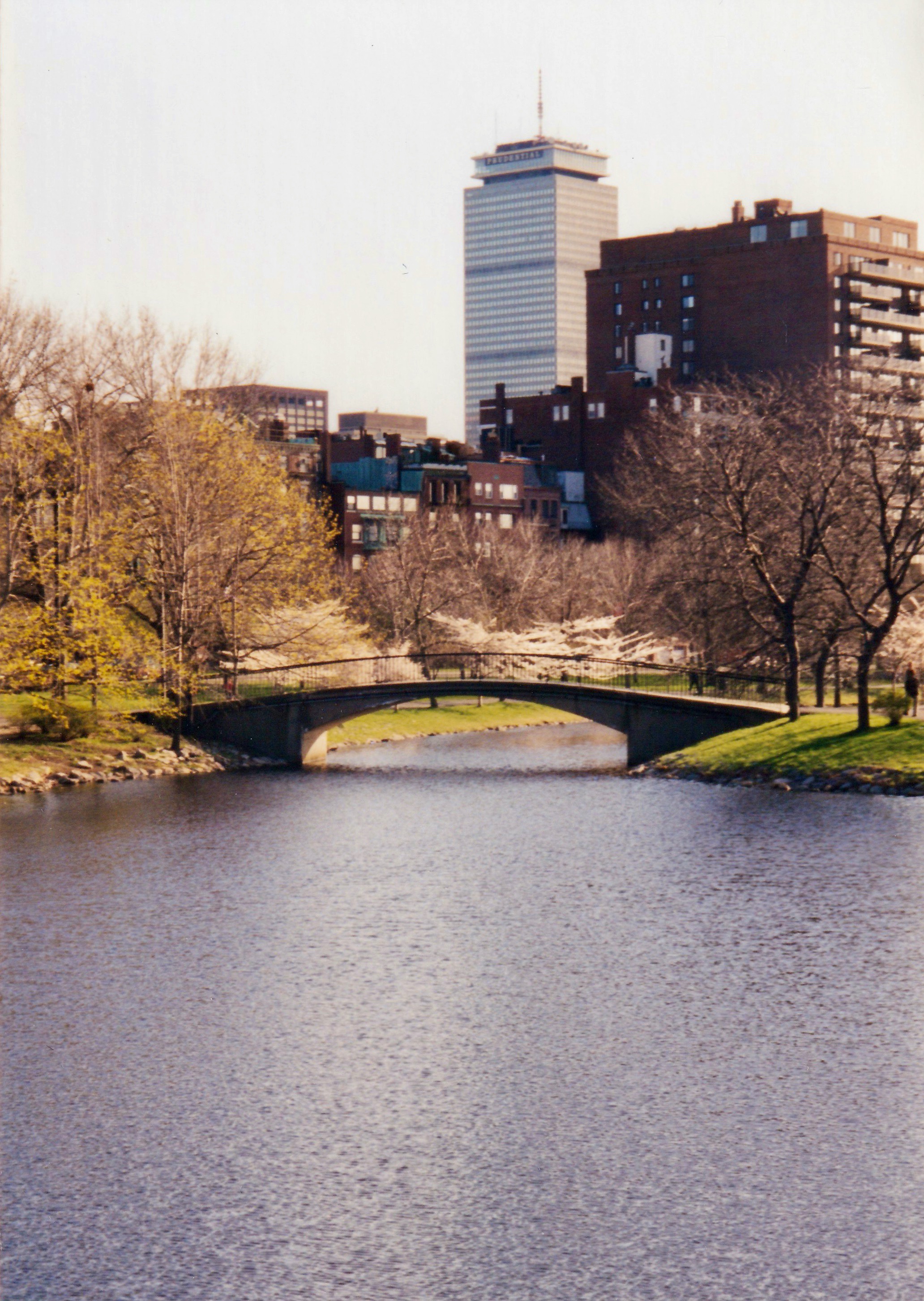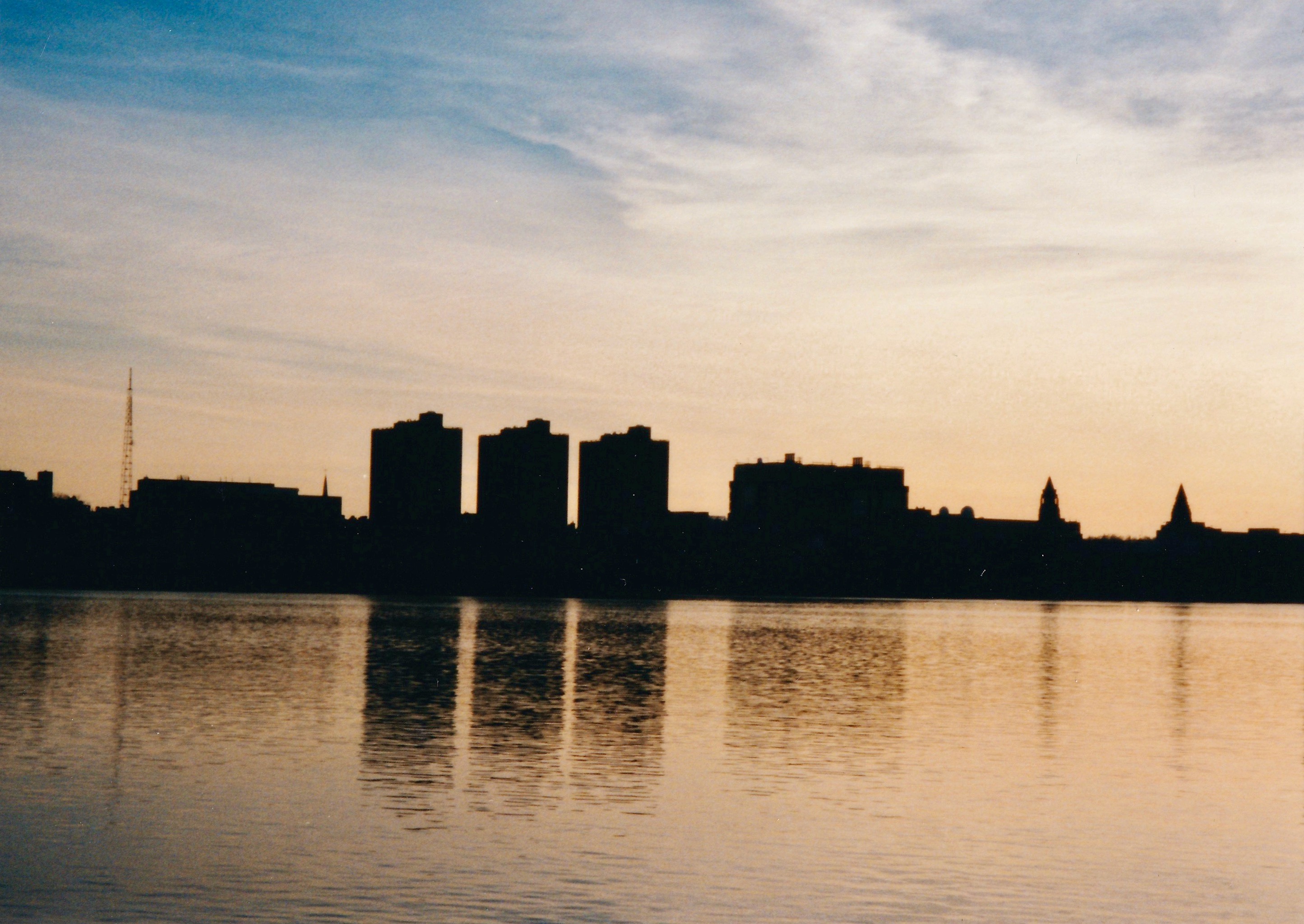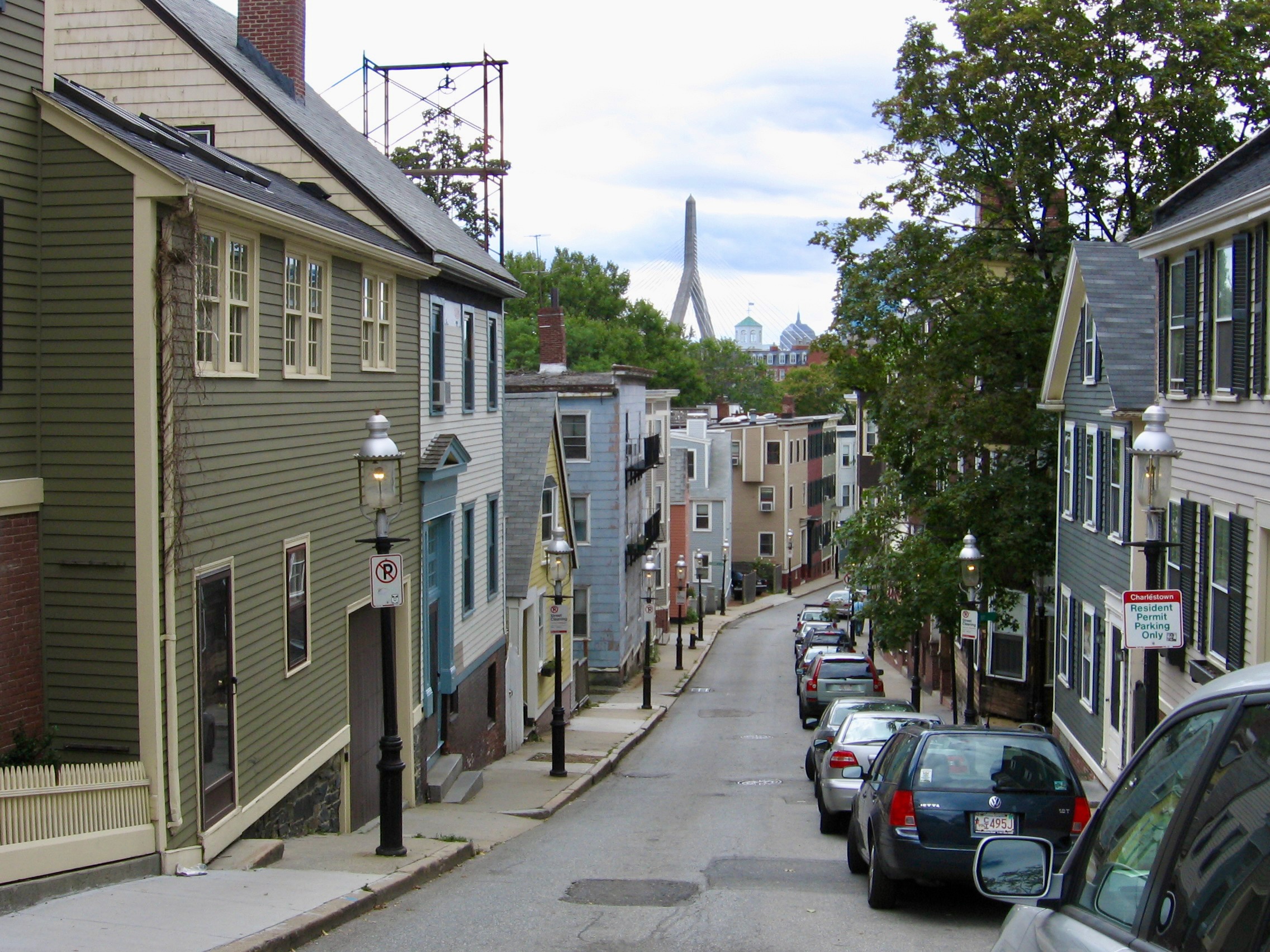
On my anniversary of moving to Boston, I present some of my favorite snapshots of the city’s roads, bridges and former cowpaths from over the years. First, Pleasant Street in Charlestown with a view of the Zakim Bridge–likely one of the most photographed streets in the city and what comes to mind when out-of-towners think of “Boston”.
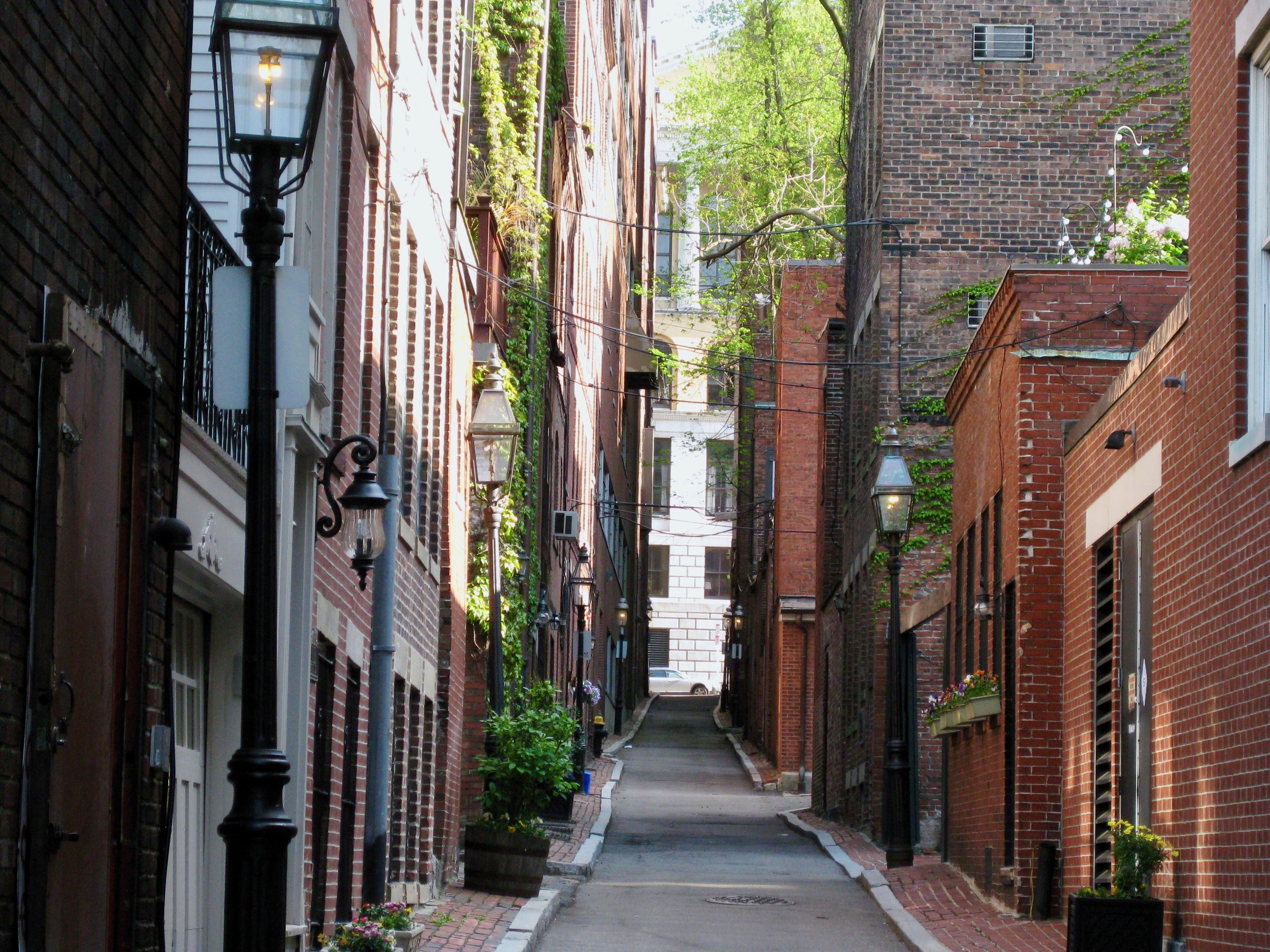
Beacon Hill is also stereotypically Boston for its brick row houses, gas-style street lamps and narrow alleyways.
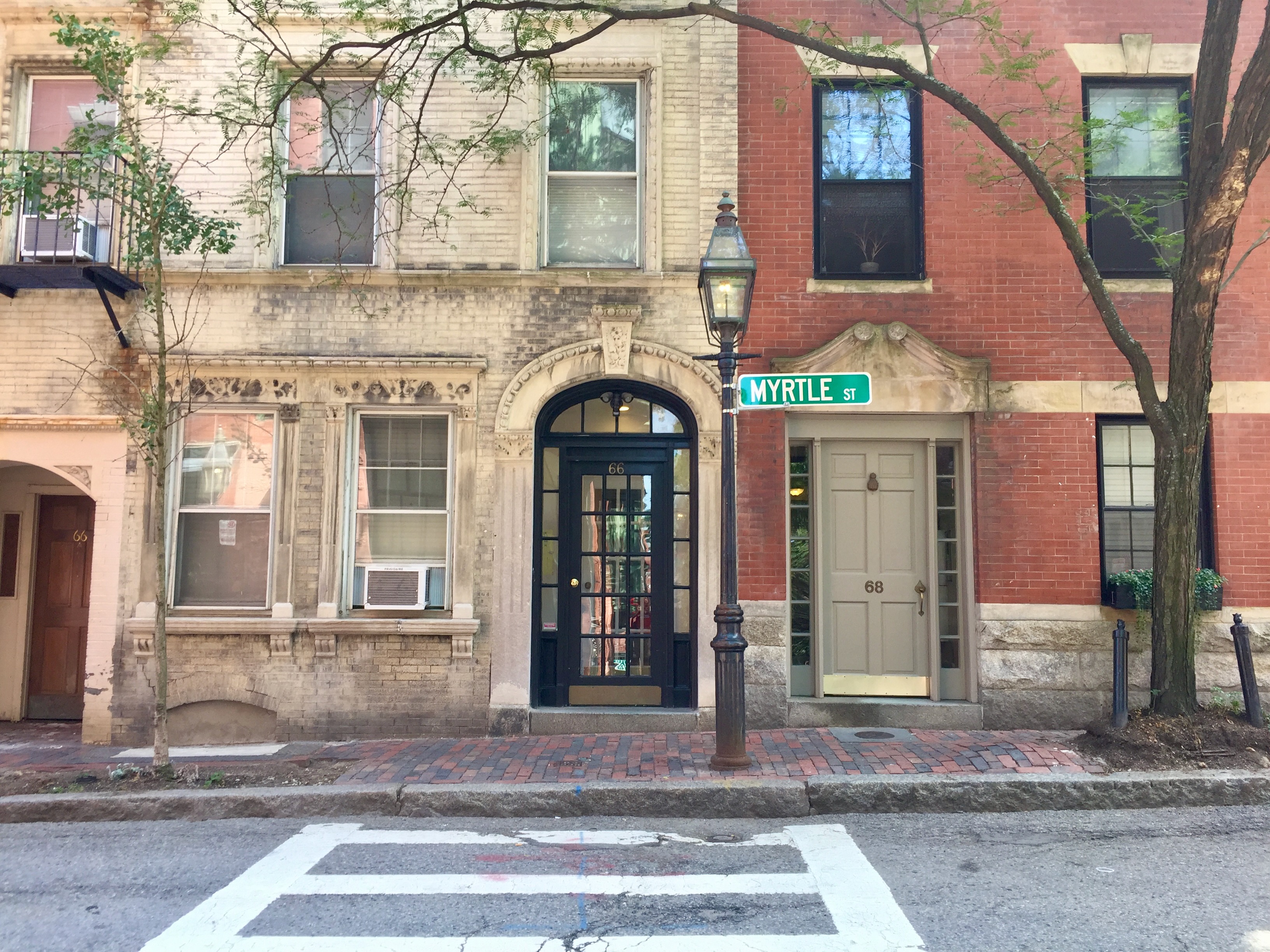
Myrtle St. at the foot of Garden St., another typical Beacon Hill tableau
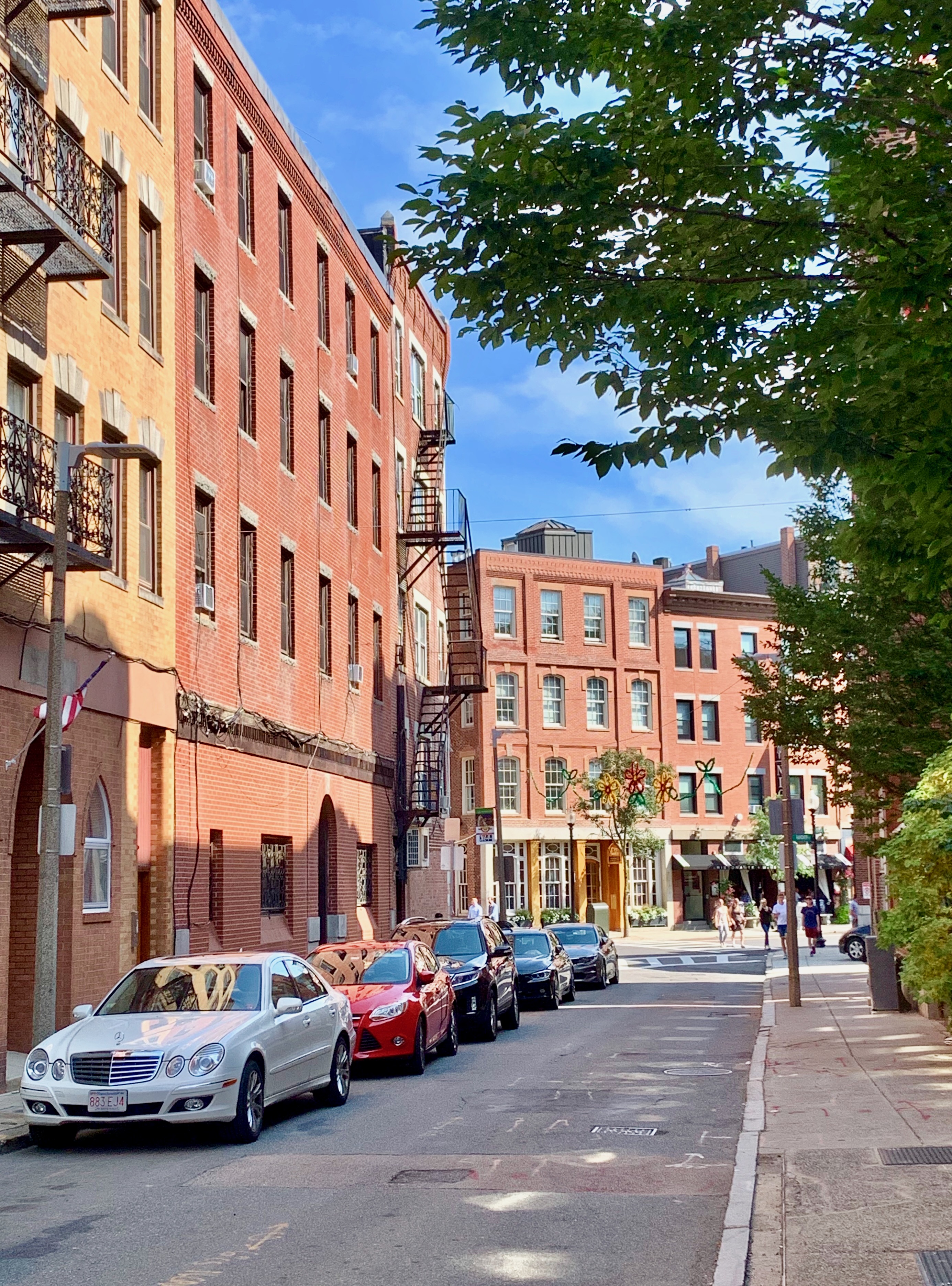
Officially, Boston’s oldest neighborhood is the North End, its “Little Italy”. Here’s Charter Street near its terminus at main thoroughfare Hanover Street.
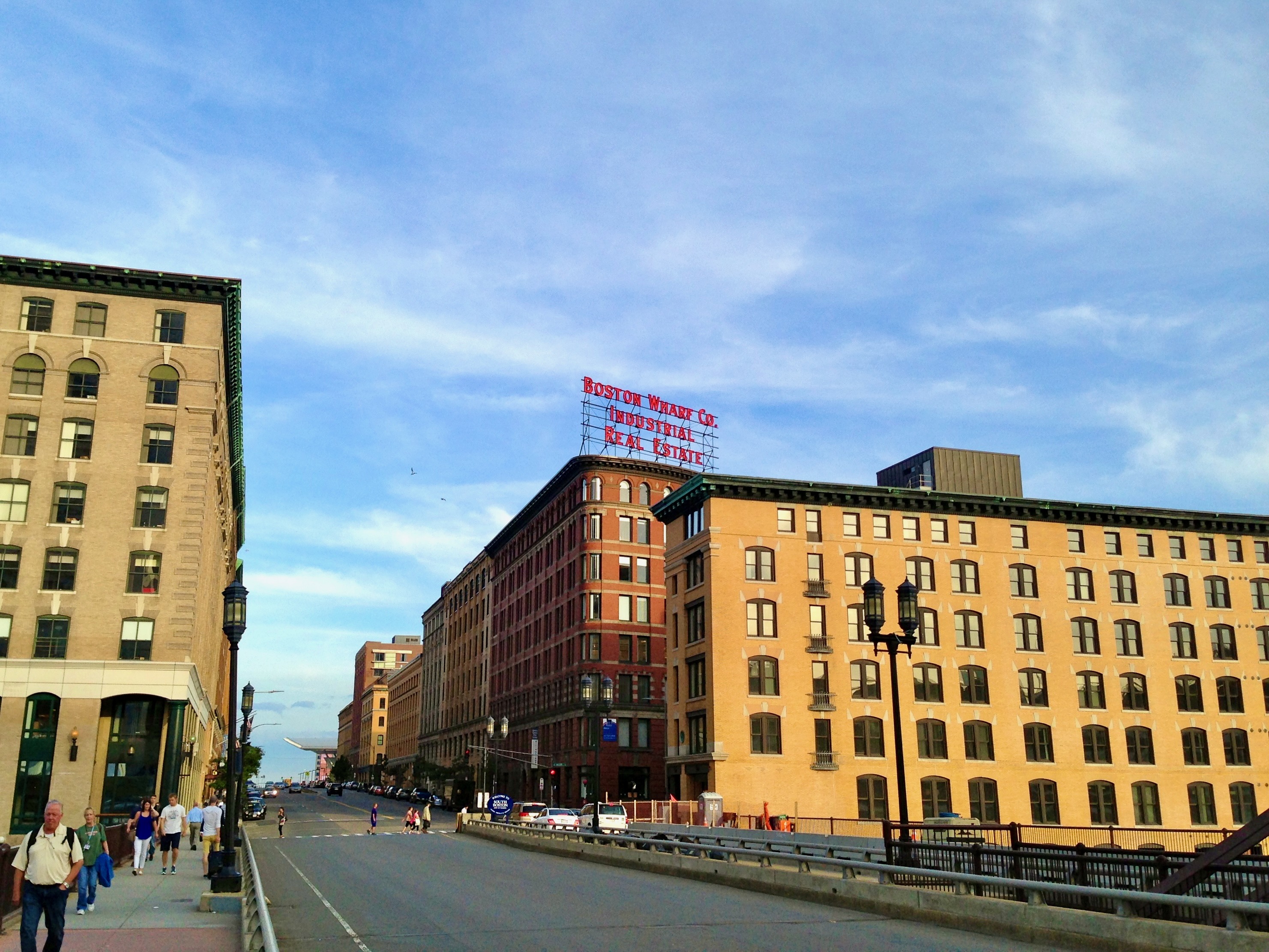
Summer Street crossing Fort Point Channel; I often walk around this area if I have time to kill before catching a commuter rail train at nearby South Station.
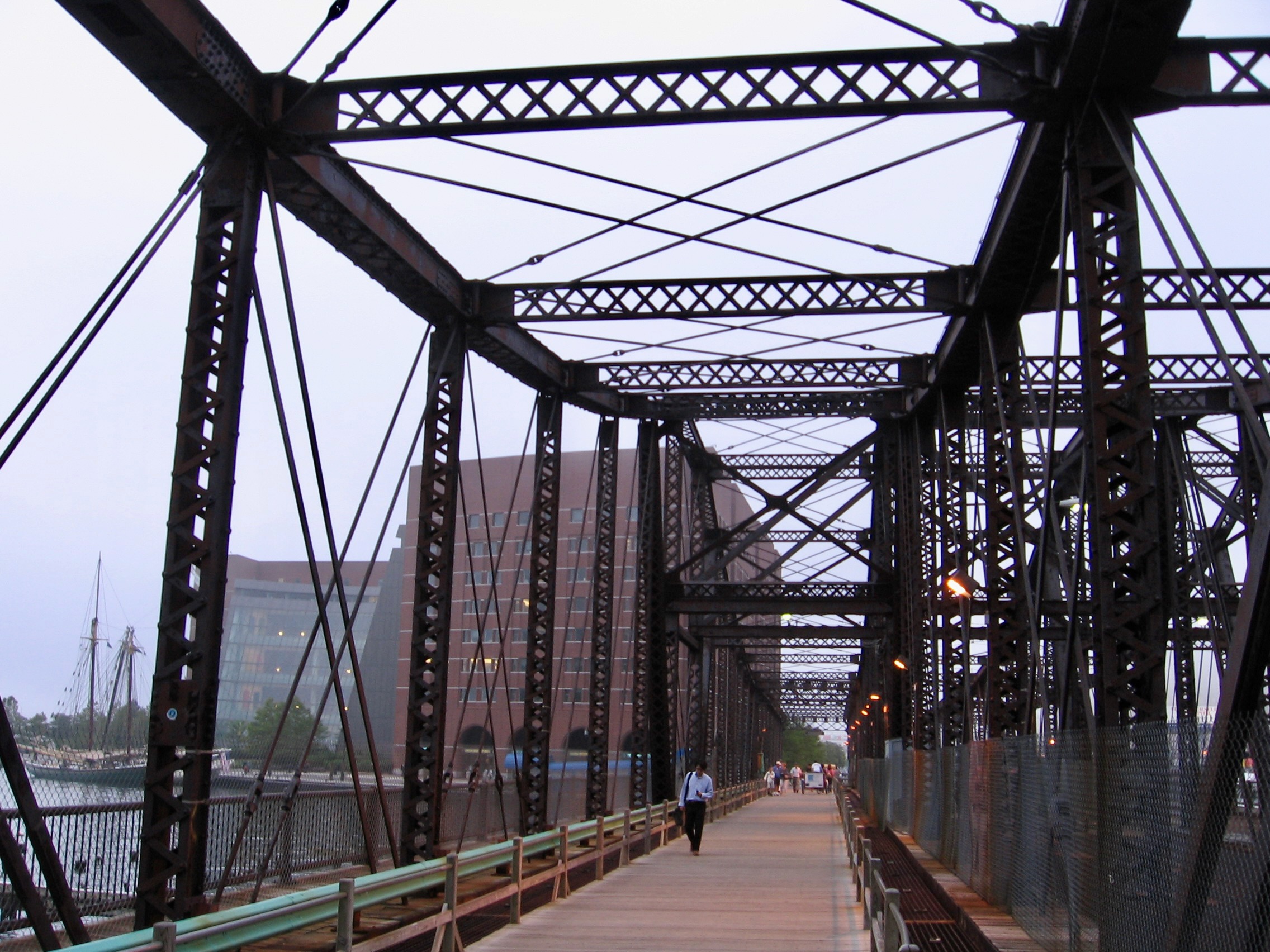
Also spanning Fort Point Channel, the historic Northern Avenue Bridge. This was taken 10-15 years ago; presently, it is no longer open to any traffic, pedestrian or otherwise, a shame.
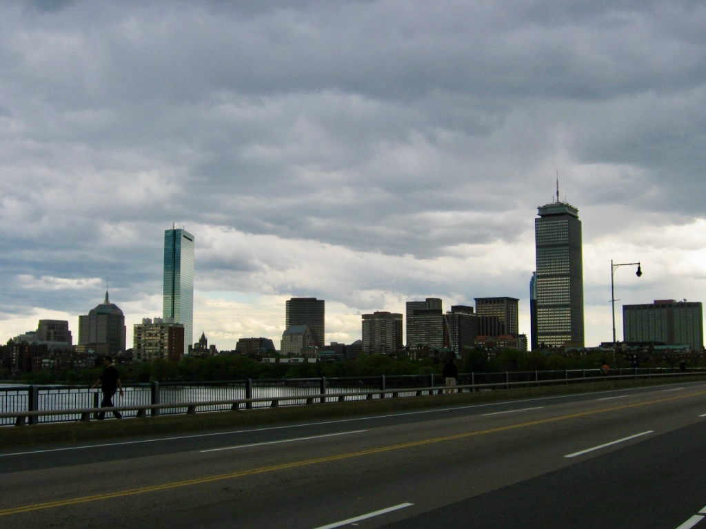
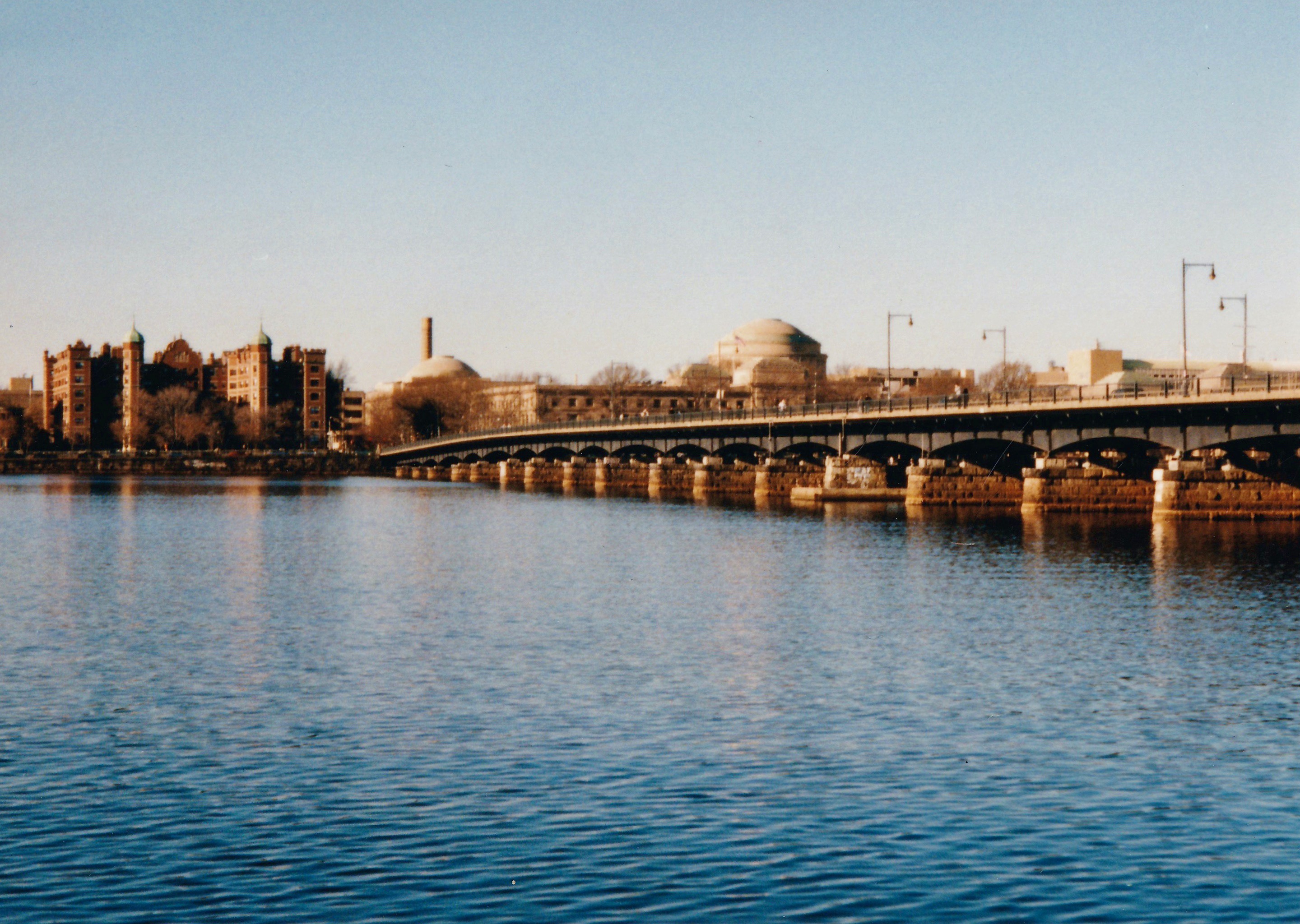
Technically called the Harvard Bridge (most commonly refer to it as the Mass (short for Massachusetts) Ave. Bridge, for that’s the street it’s on), this lengthy passage over the Charles River connects Boston (pictured above) to Cambridge. When the weather’s decent, I’ll often walk across it on my way to work at MIT.
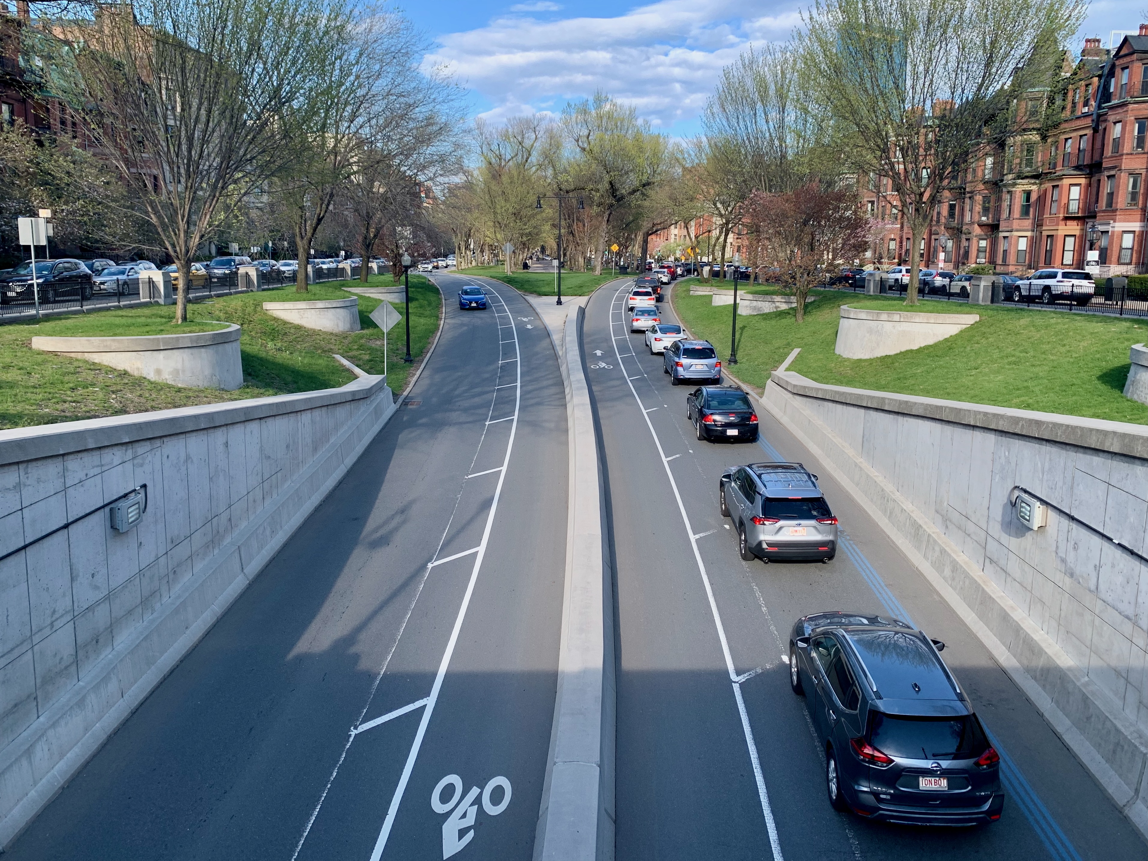
Taken from the Tommy Leonard Bridge, this is Commonwealth Ave passing beneath Mass Ave in the Back Bay, probably the Boston neighborhood I spend the most time in apart from my own (more on that later).
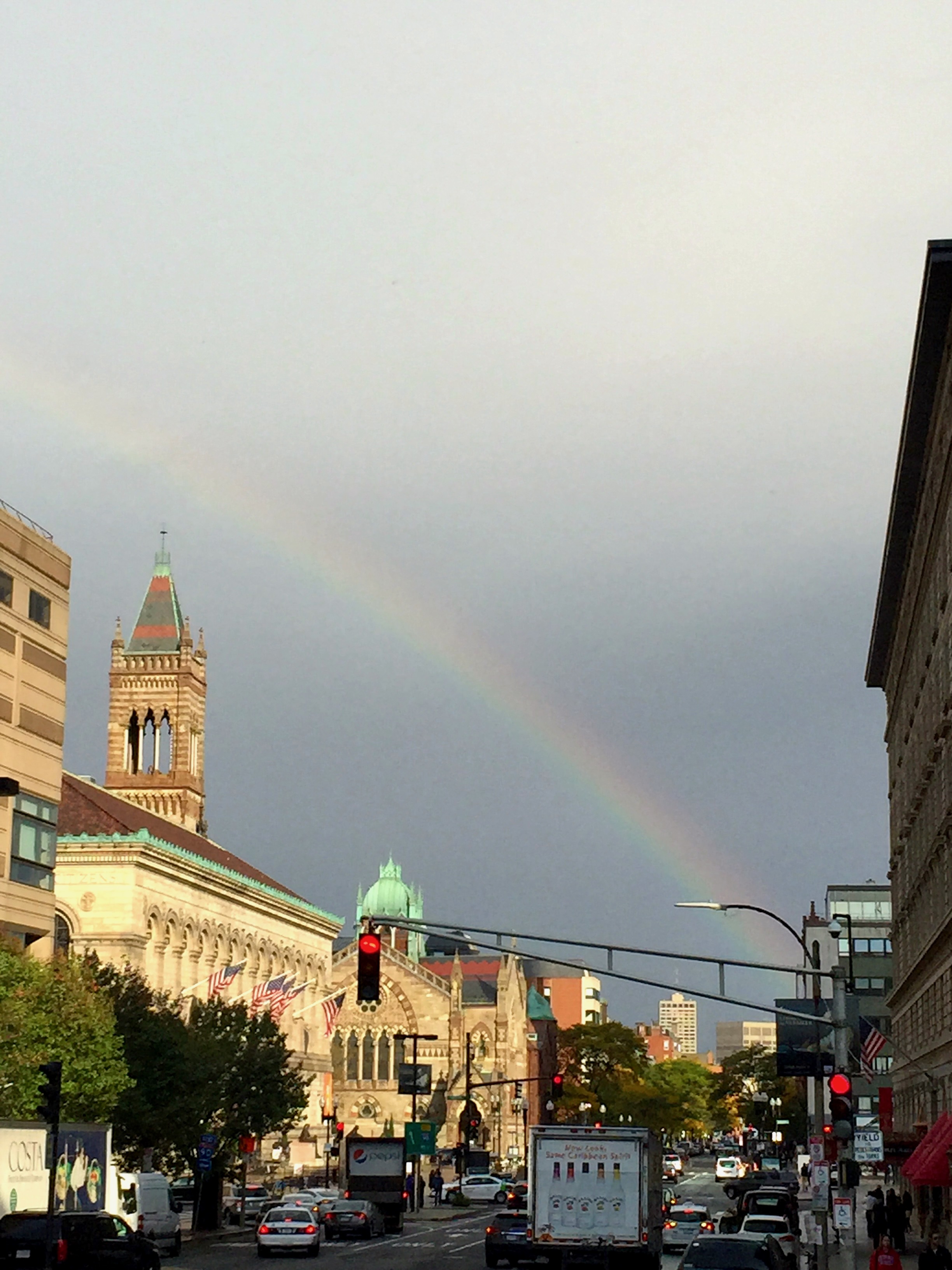
Dartmouth Ave looking towards Copley Square and the Boston Public Library Central branch on the left. If I had a dollar for every time I’ve walked this road from Back Bay Station to Copley Station, I’d be rich. This is from about a decade ago when a sudden rainbow livened up my morning commute a little.
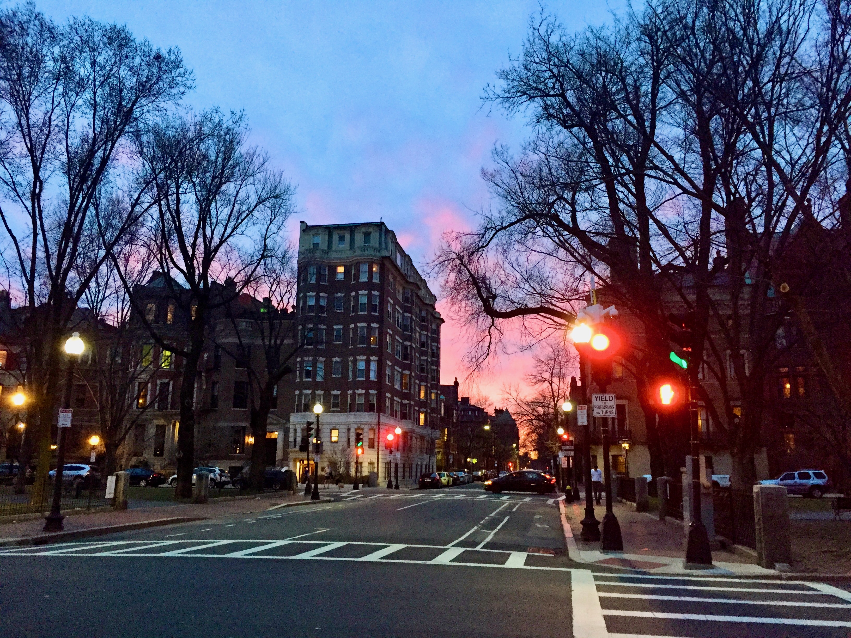
Hereford Street at the Commonwealth Ave mall in the Back Bay during a winter sunset; the view from two pictures above it is one block to the left.
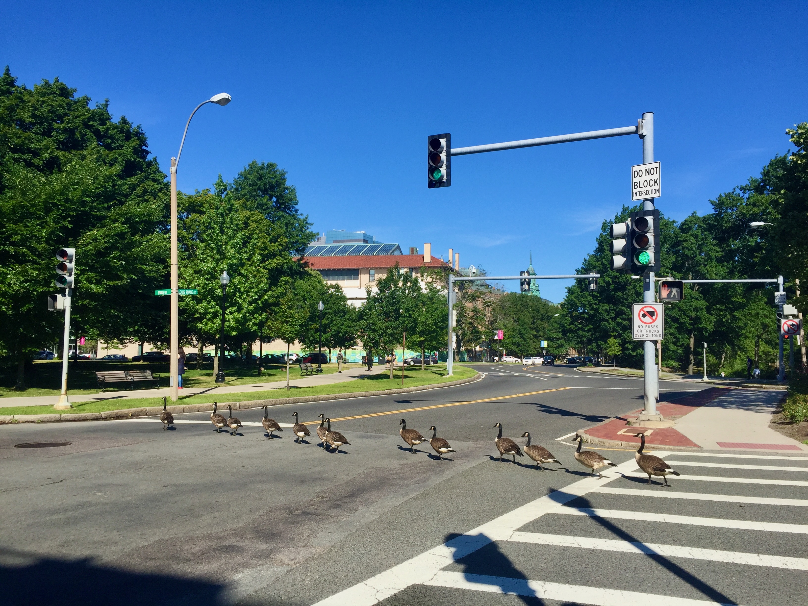
One morning on Louis Prang St. in the Fenway, I came across this on my commute to Brookline; I think it was late in the summer given the size of the birds; no one dared to run them over.
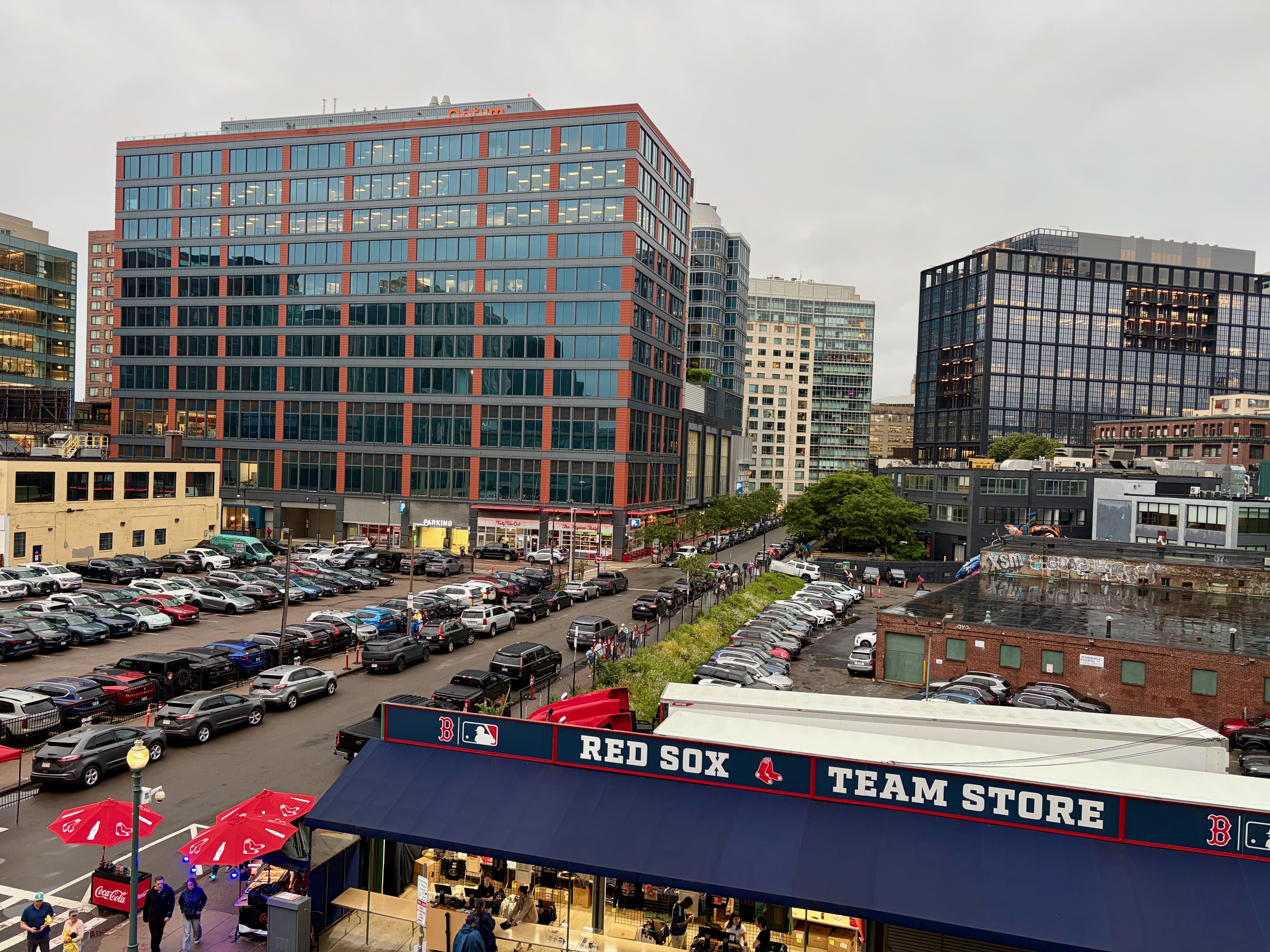
Also in the Fenway, a recent shot of Van Ness St. taken from Fenway Park itself (I was there for a concert.) Of all the rapidly changing neighborhoods in the city, the area surrounding the Green Monster has seen more development than any other place except for the relatively new Seaport District (cross Fort Point Channel and keep on walking to reach it.)
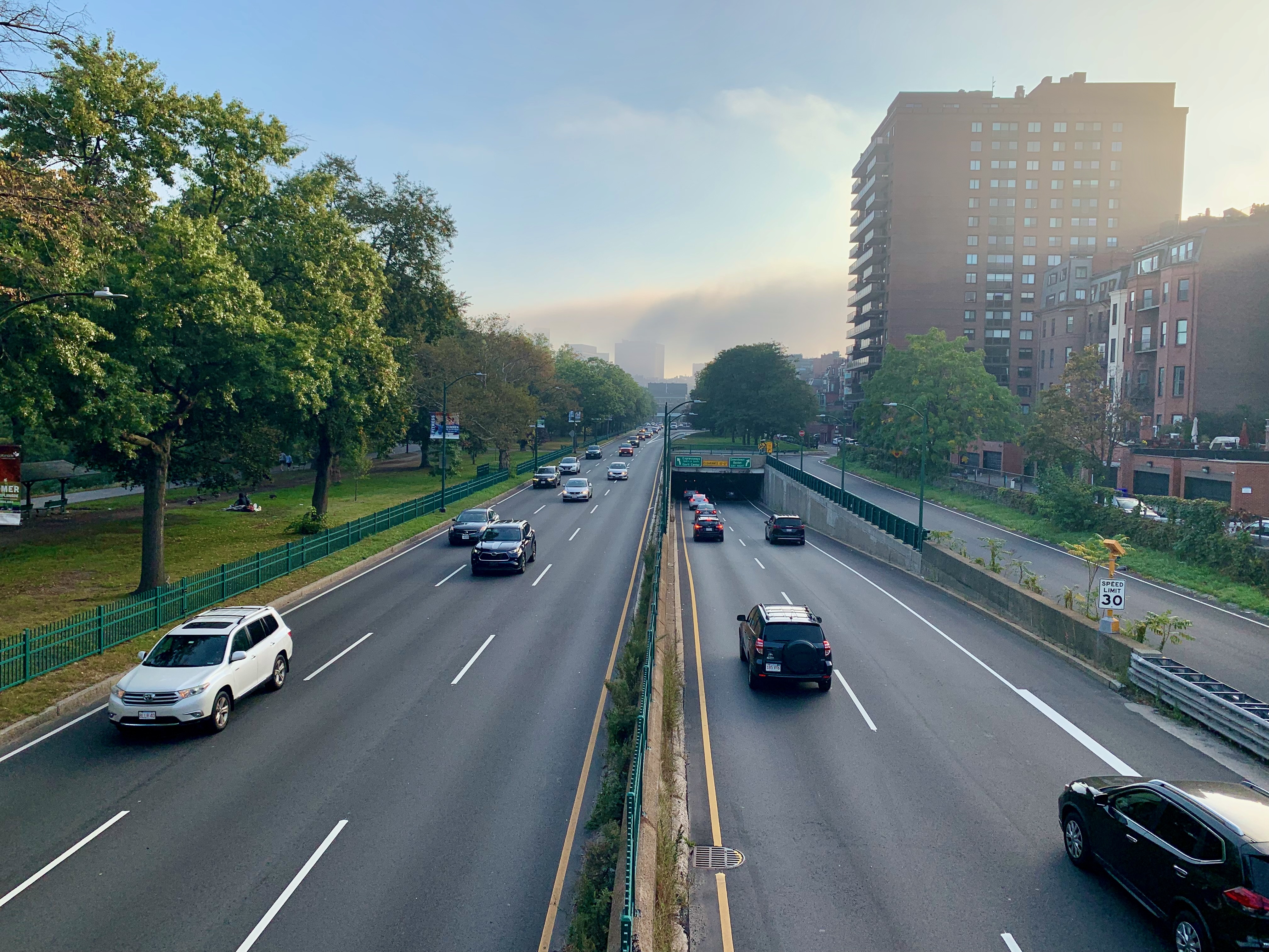
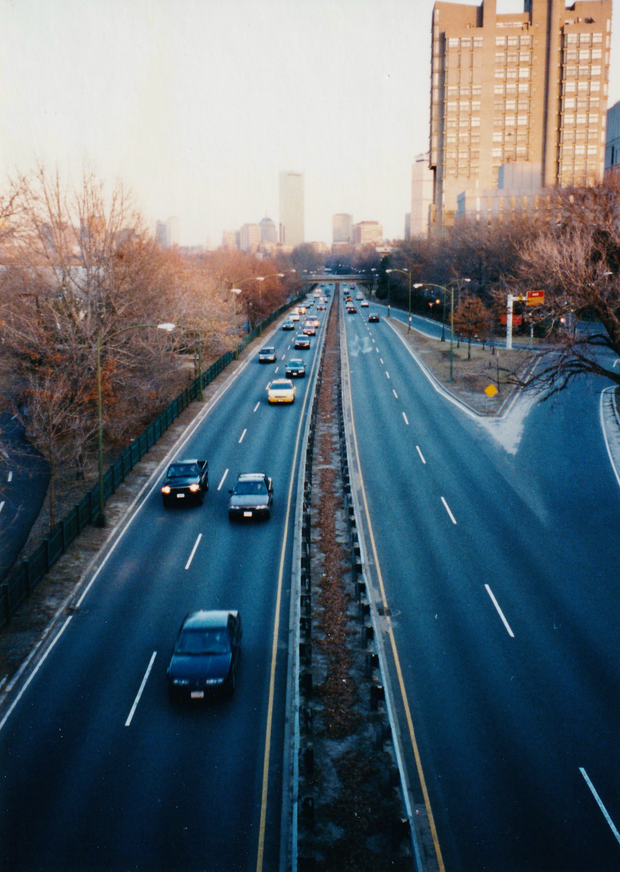
Storrow Drive, everyone’s favorite (and also just as despised) urban expressway. At this posting, we’re less than 48 hours from the biggest, craziest moving day in the city and it’s all but guaranteed at least one moving van or truck will be “Storrowed” (pay attention to those height limit signs, kids.)
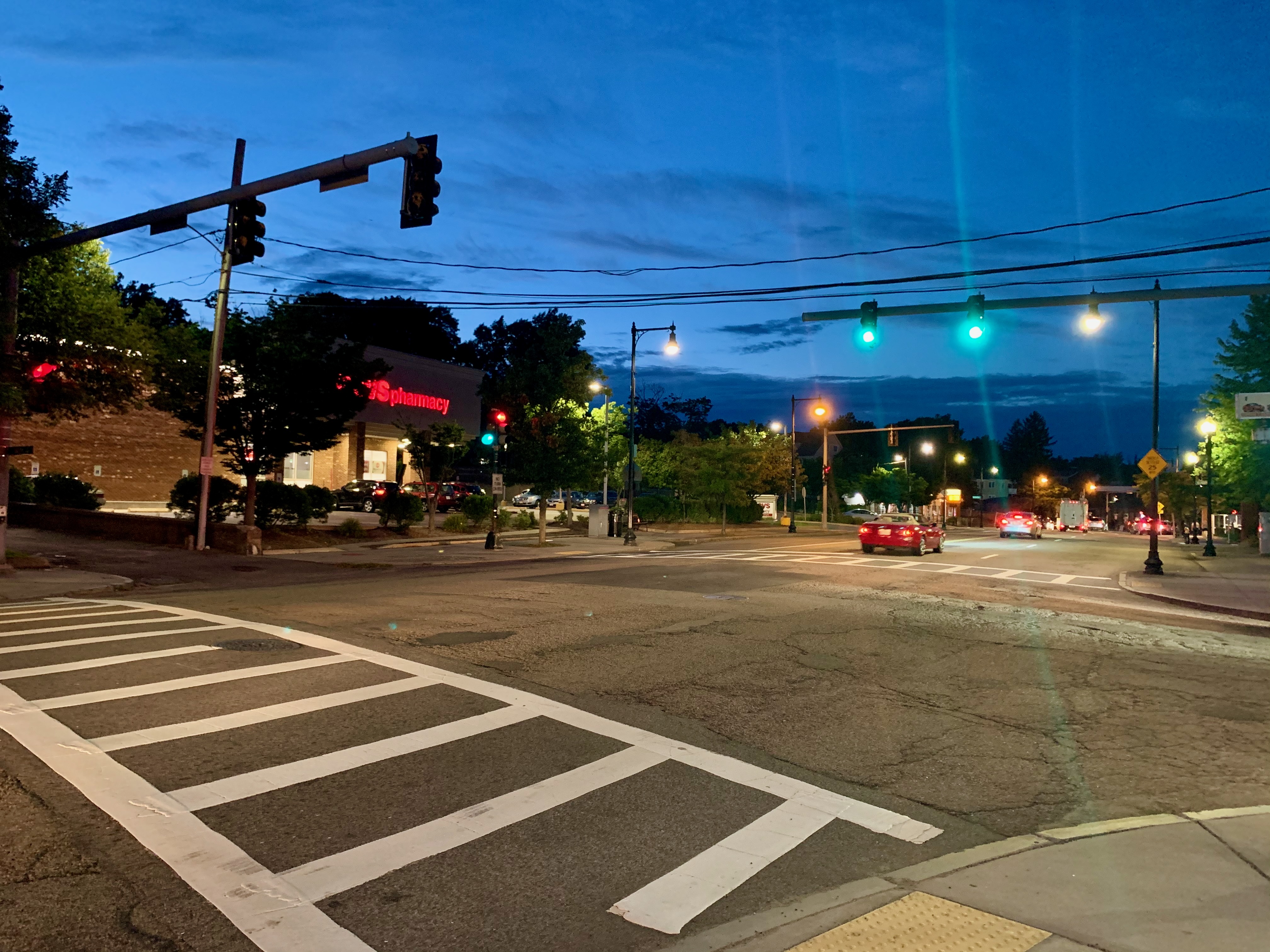
We finally arrive at my neighborhood of 15+ years, West Roxbury, the westernmost, most suburban part of Boston. Above, we have main drag Centre St. crossing Bellevue St. In this entire city, you’re rarely more than a 15-minute hike from a CVS (or a 5-10 minute walk from a Dunkin.) Not always a quiet neighborhood, but often a peaceful-looking one. Check back here in another year when I’ll surely be posting something to commemorate my thirtieth (!) year as a Bostonian.