Streets of Boston

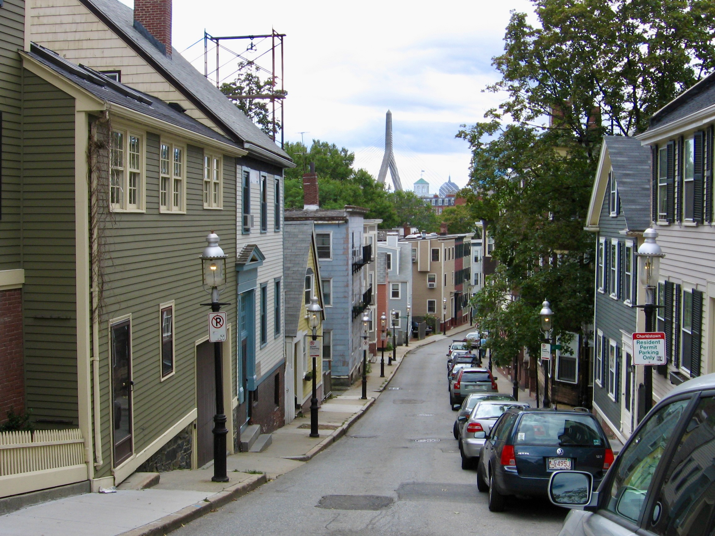
On my anniversary of moving to Boston, I present some of my favorite snapshots of the city’s roads, bridges and former cowpaths from over the years. First, Pleasant Street in Charlestown with a view of the Zakim Bridge–likely one of the most photographed streets in the city and what comes to mind when out-of-towners think of “Boston”.
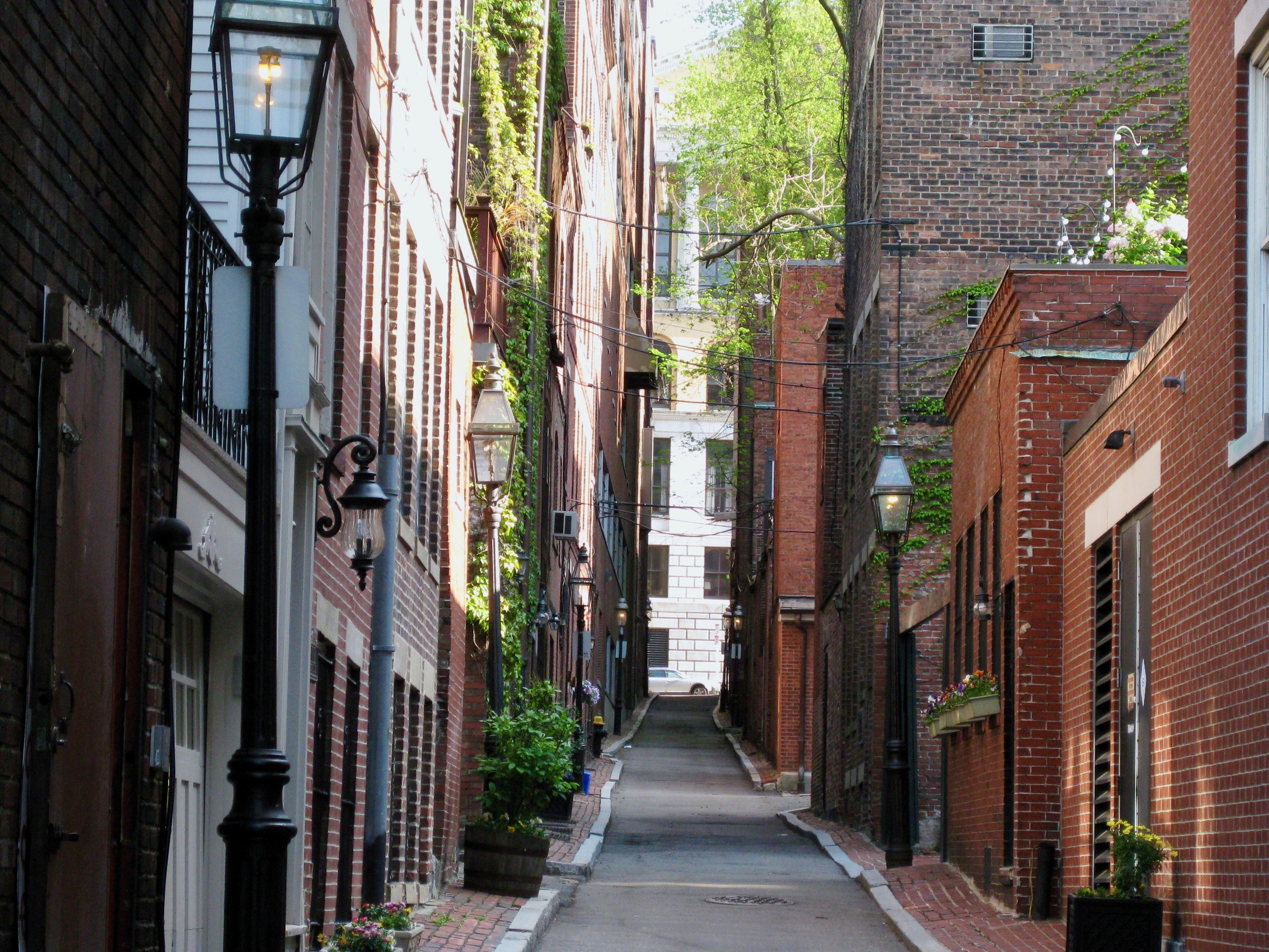
Beacon Hill is also stereotypically Boston for its brick row houses, gas-style street lamps and narrow alleyways.
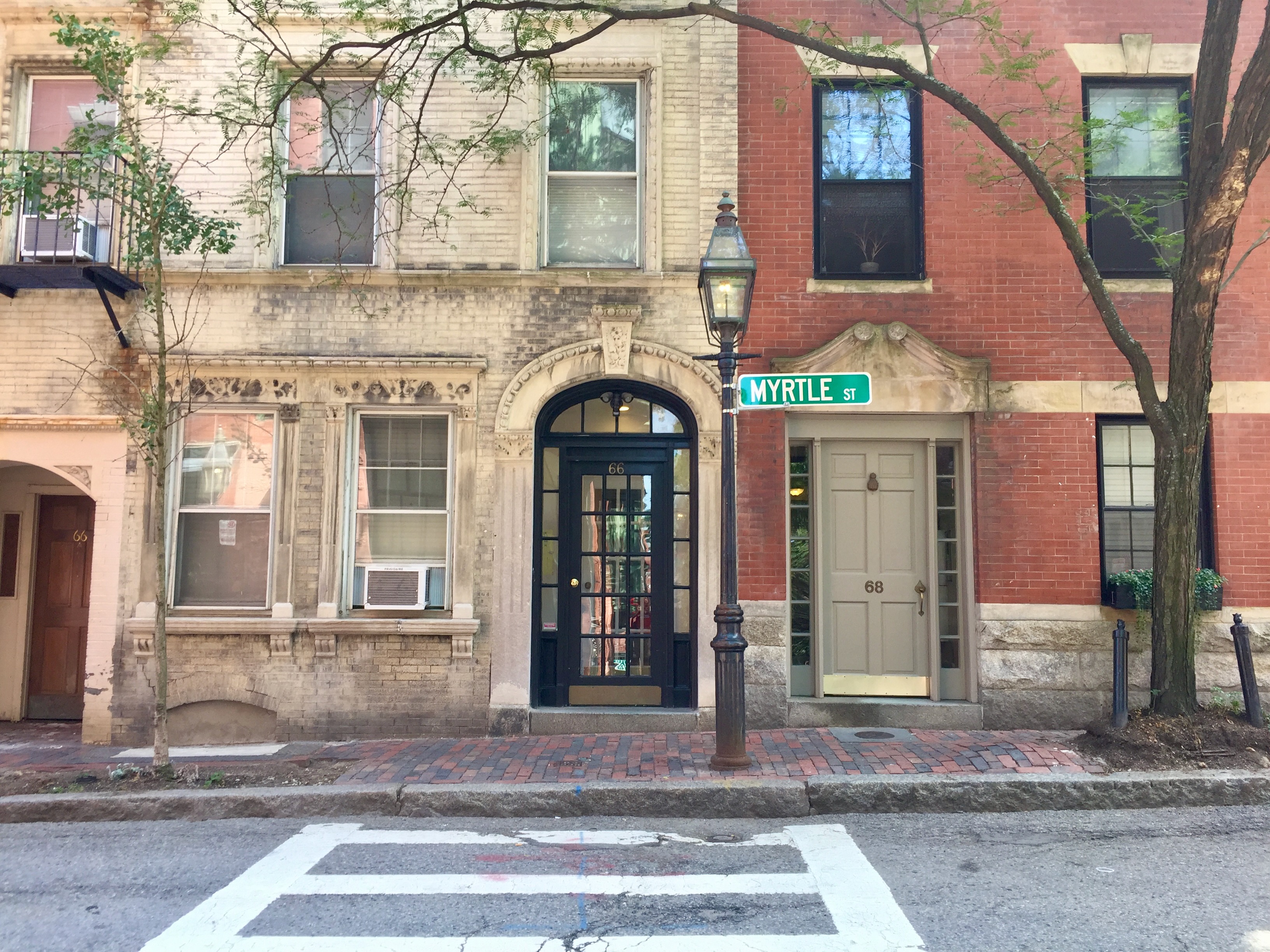
Myrtle St. at the foot of Garden St., another typical Beacon Hill tableau
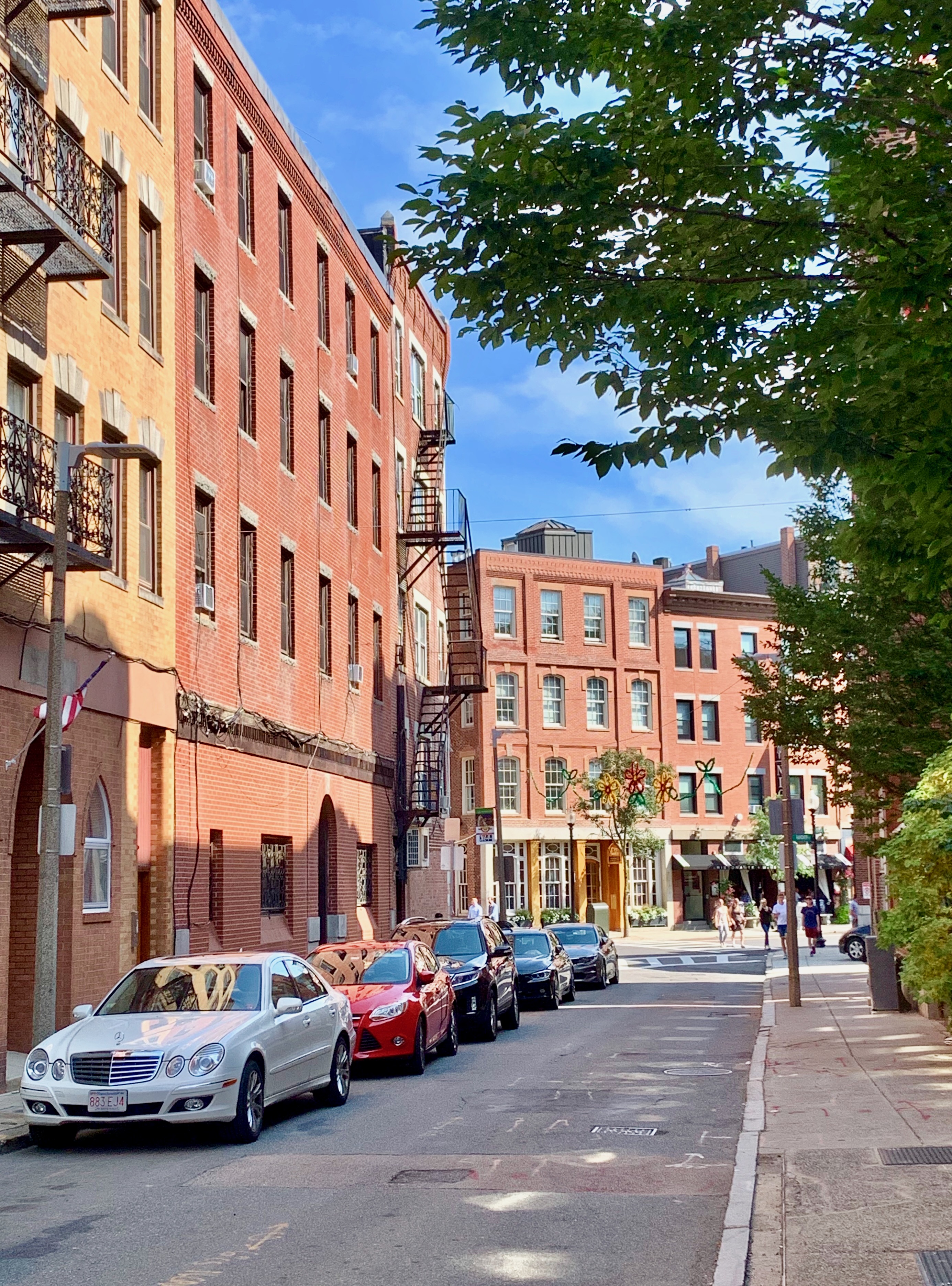
Officially, Boston’s oldest neighborhood is the North End, its “Little Italy”. Here’s Charter Street near its terminus at main thoroughfare Hanover Street.
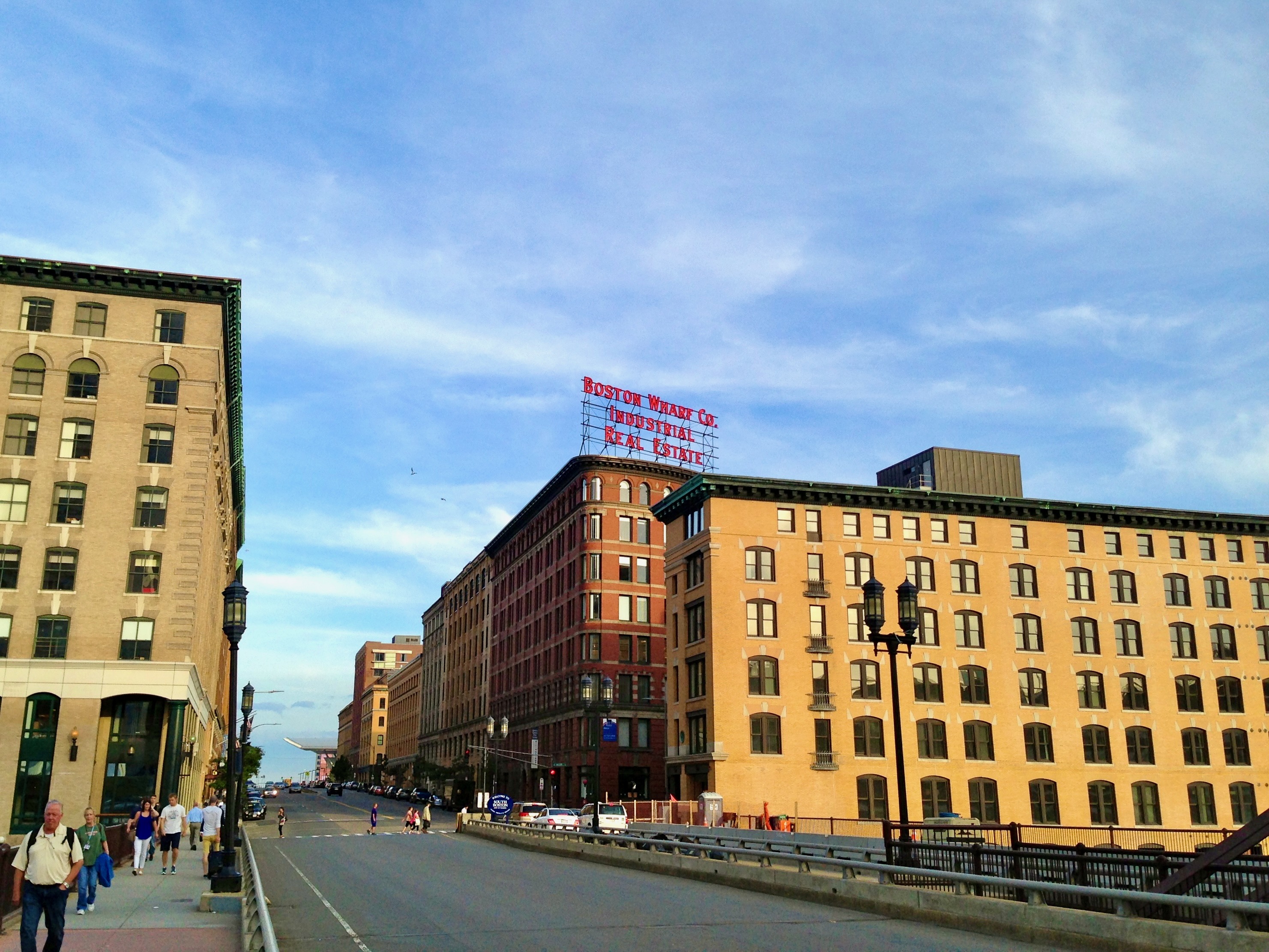
Summer Street crossing Fort Point Channel; I often walk around this area if I have time to kill before catching a commuter rail train at nearby South Station.
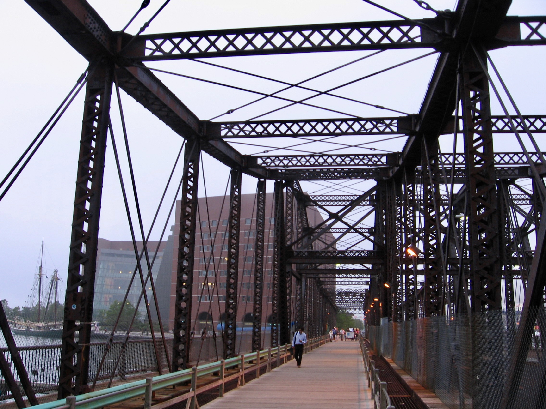
Also spanning Fort Point Channel, the historic Northern Avenue Bridge. This was taken 10-15 years ago; presently, it is no longer open to any traffic, pedestrian or otherwise, a shame.
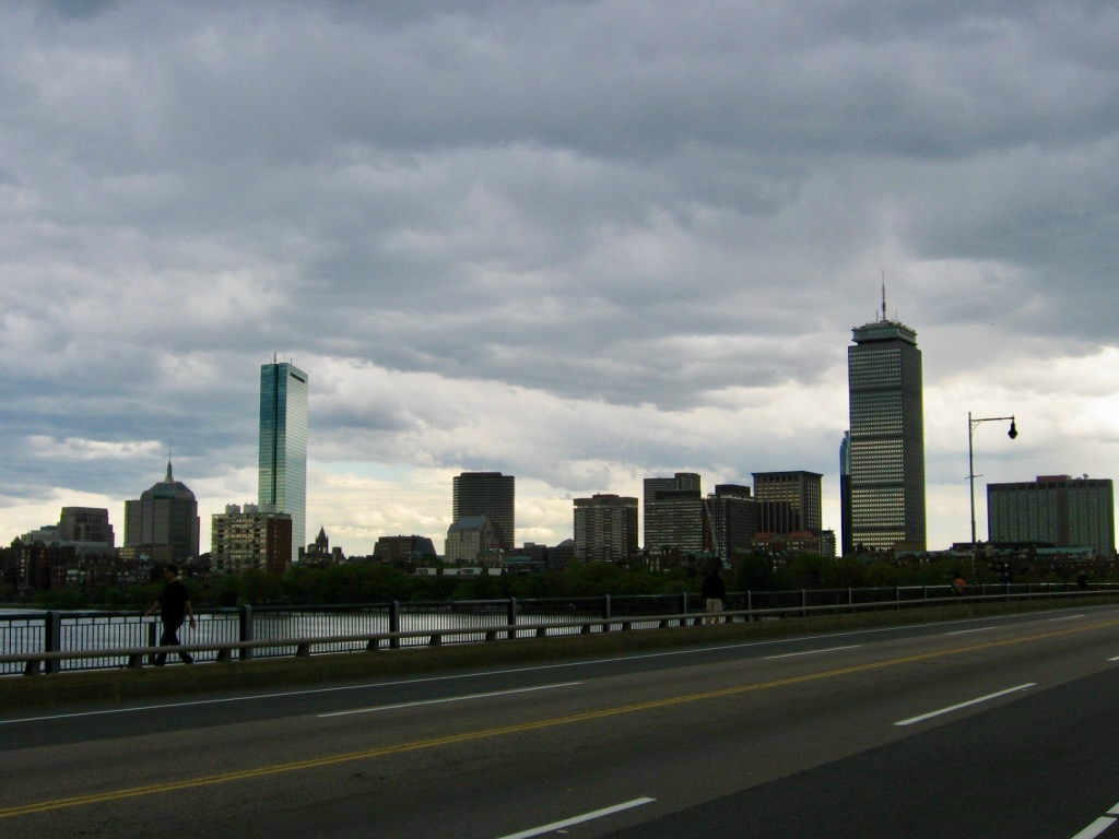
Technically called the Harvard Bridge (most commonly refer to it as the Mass (short for Massachusetts) Ave. Bridge, for that’s the street it’s on), this lengthy passage over the Charles River connects Boston (pictured above) to Cambridge. When the weather’s decent, I’ll often walk across it on my way to work at MIT.
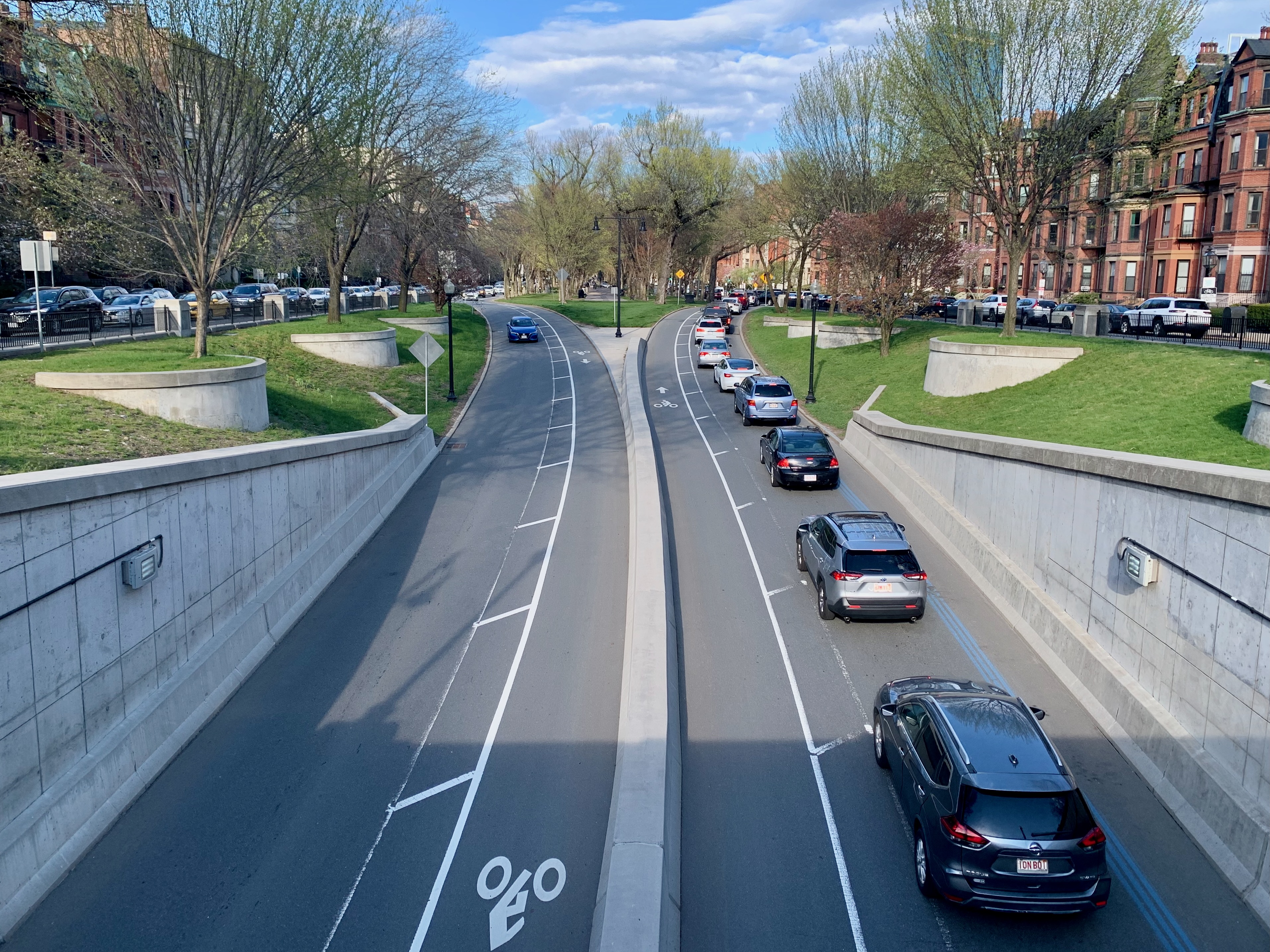
Taken from the Tommy Leonard Bridge, this is Commonwealth Ave passing beneath Mass Ave in the Back Bay, probably the Boston neighborhood I spend the most time in apart from my own (more on that later).
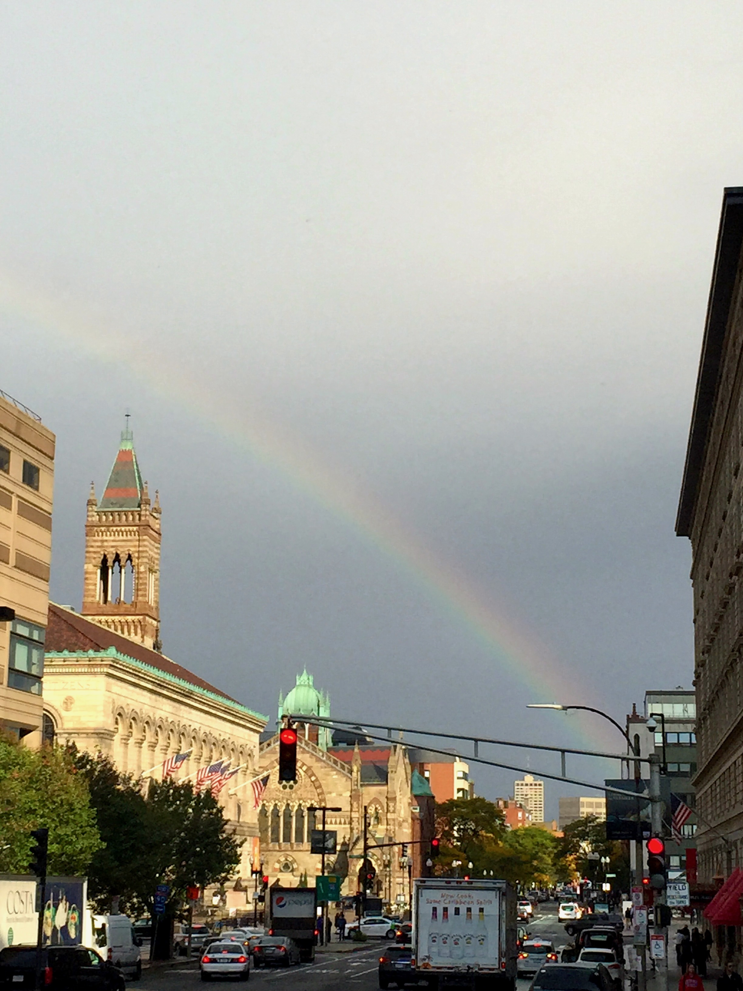
Dartmouth Ave looking towards Copley Square and the Boston Public Library Central branch on the left. If I had a dollar for every time I’ve walked this road from Back Bay Station to Copley Station, I’d be rich. This is from about a decade ago when a sudden rainbow livened up my morning commute a little.
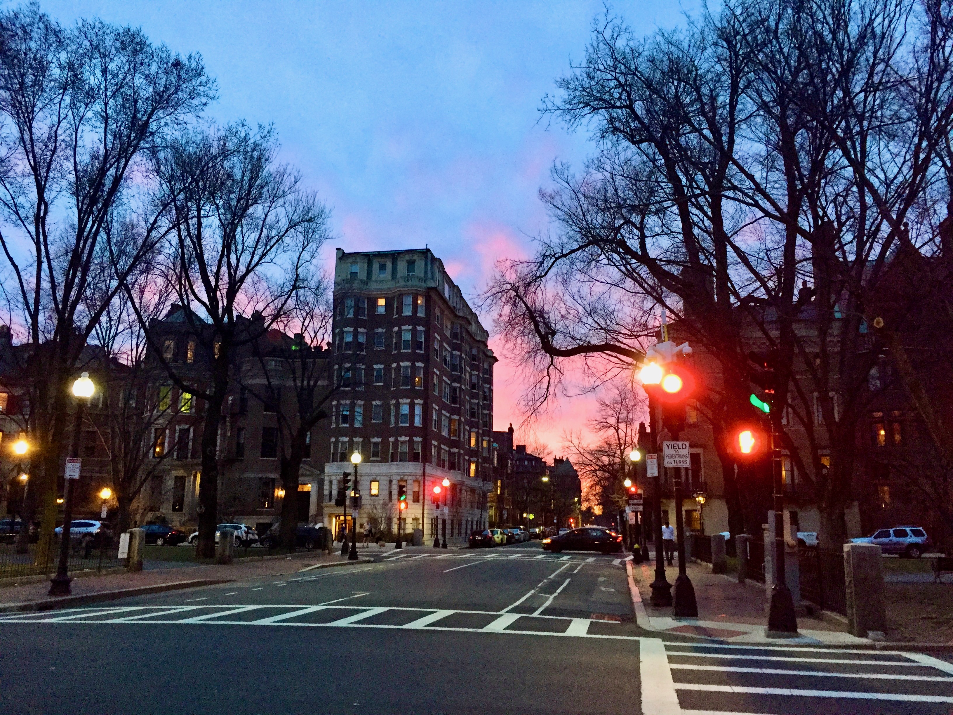
Hereford Street at the Commonwealth Ave mall in the Back Bay during a winter sunset; the view from two pictures above it is one block to the left.
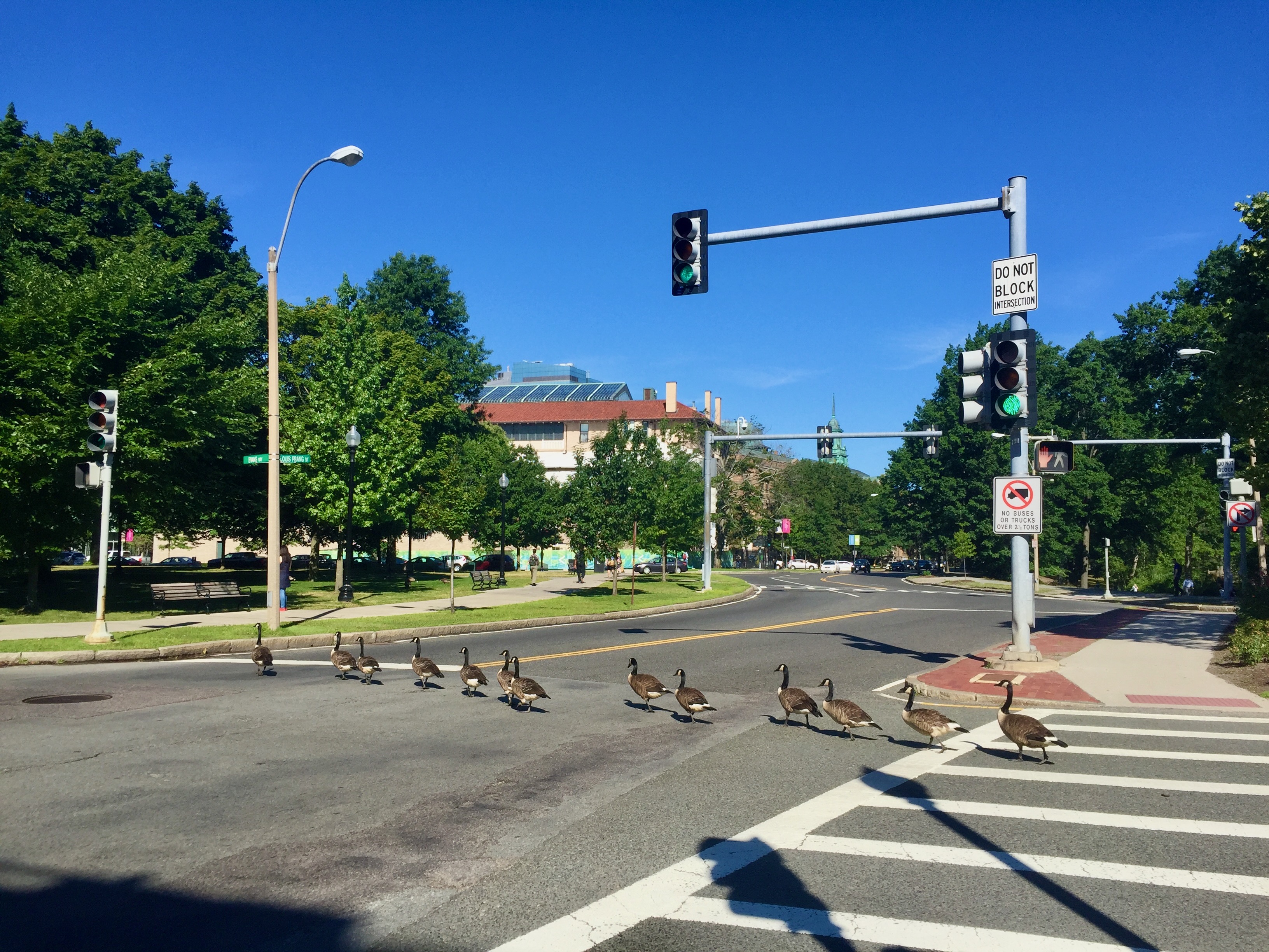
One morning on Louis Prang St. in the Fenway, I came across this on my commute to Brookline; I think it was late in the summer given the size of the birds; no one dared to run them over.
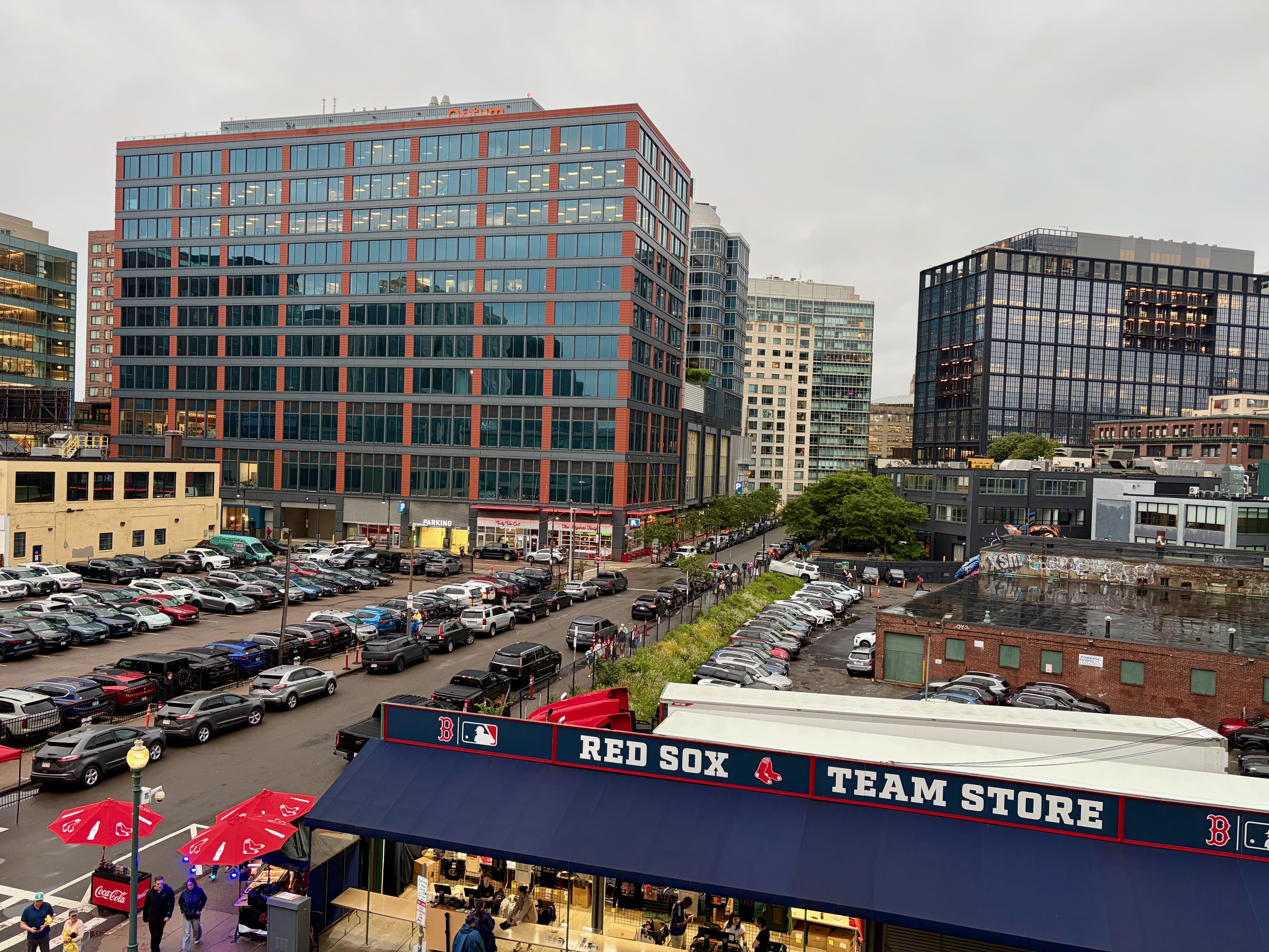
Also in the Fenway, a recent shot of Van Ness St. taken from Fenway Park itself (I was there for a concert.) Of all the rapidly changing neighborhoods in the city, the area surrounding the Green Monster has seen more development than any other place except for the relatively new Seaport District (cross Fort Point Channel and keep on walking to reach it.)
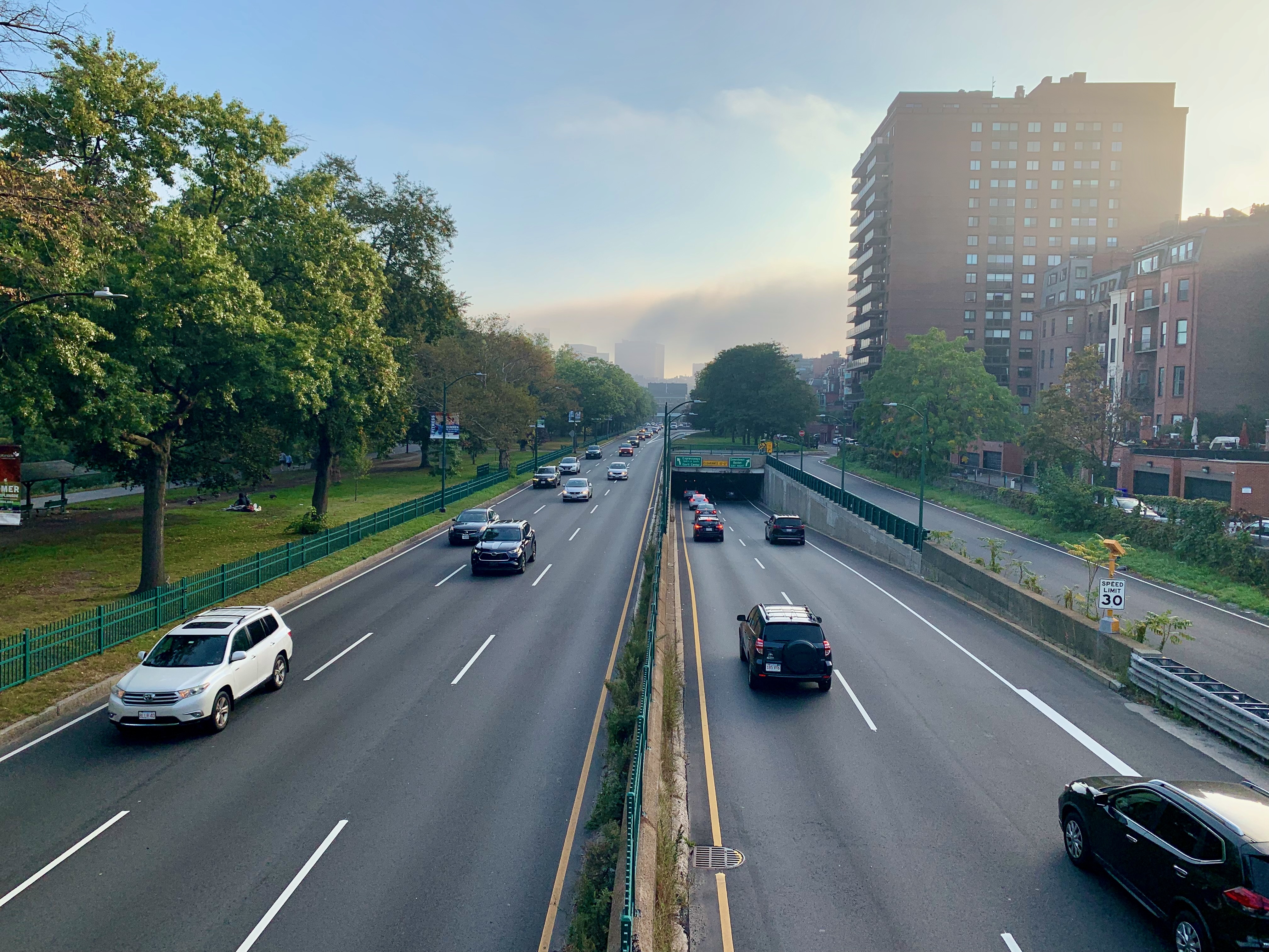
Storrow Drive, everyone’s favorite (and also just as despised) urban expressway. At this posting, we’re less than 48 hours from the biggest, craziest moving day in the city and it’s all but guaranteed at least one moving van or truck will be “Storrowed” (pay attention to those height limit signs, kids.)
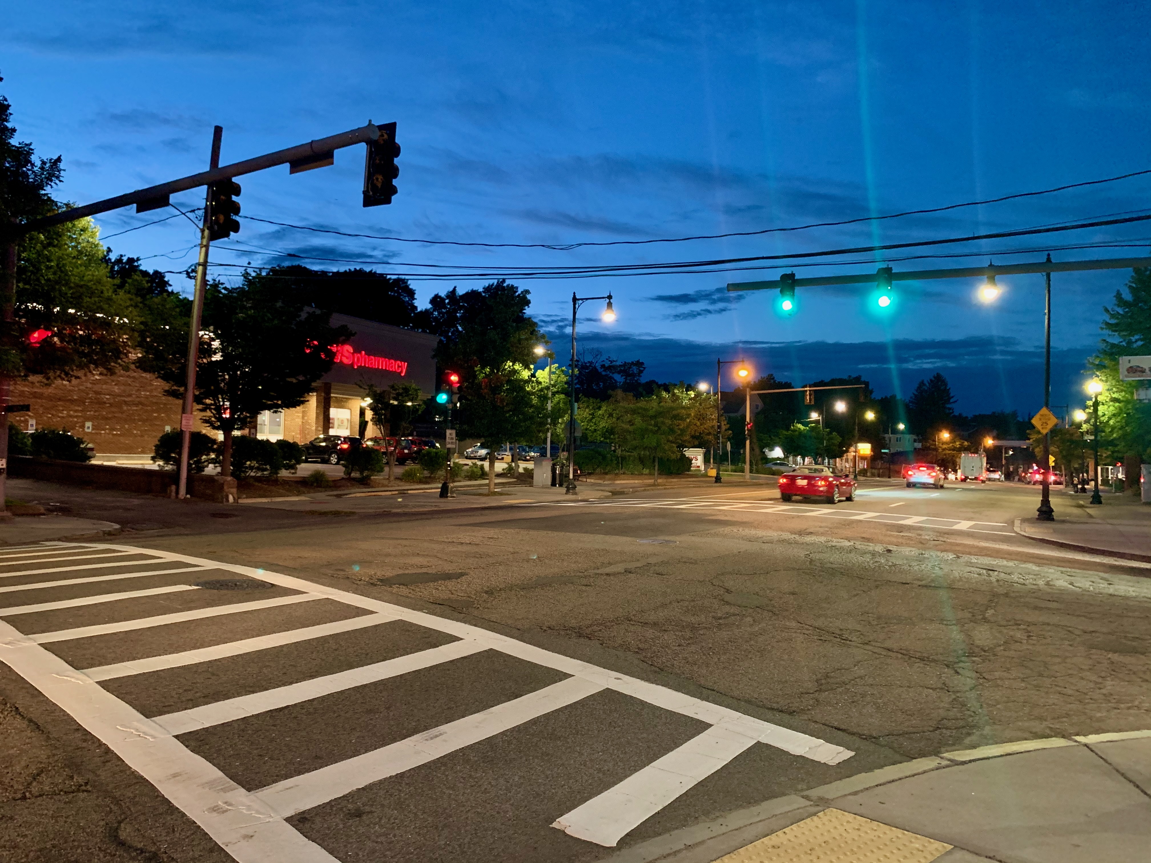
We finally arrive at my neighborhood of 15+ years, West Roxbury, the westernmost, most suburban part of Boston. Above, we have main drag Centre St. crossing Bellevue St. In this entire city, you’re rarely more than a 15-minute hike from a CVS (or a 5-10 minute walk from a Dunkin.) Not always a quiet neighborhood, but often a peaceful-looking one. Check back here in another year when I’ll surely be posting something to commemorate my thirtieth (!) year as a Bostonian.
Hidden Boston

I’ve always been a proponent of being a tourist in one’s own town; having taken many pictures documenting the city’s iconic spaces over the years, here are a baker’s dozen that you likely won’t find on a tourism map or website.

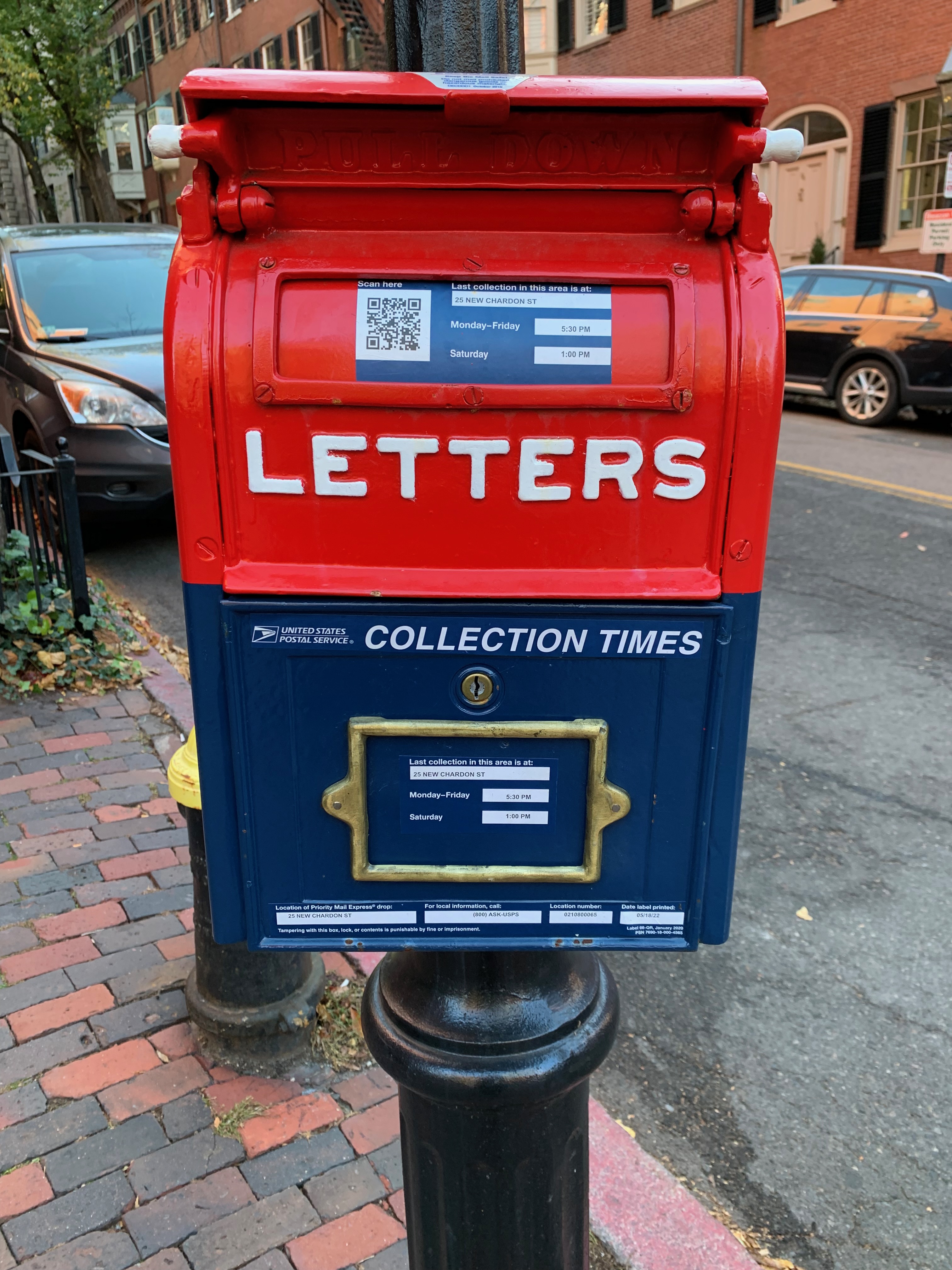
We begin in Louisburg Square, arguably the toniest enclave of Beacon Hill, the city’s toniest neighborhood. I don’t remember this old-fashioned mailbox always being there although it’s possible someone may have recently painted or gussied it up. Sitting along old row homes and cobblestone sidewalks, its antiquity fits right in.

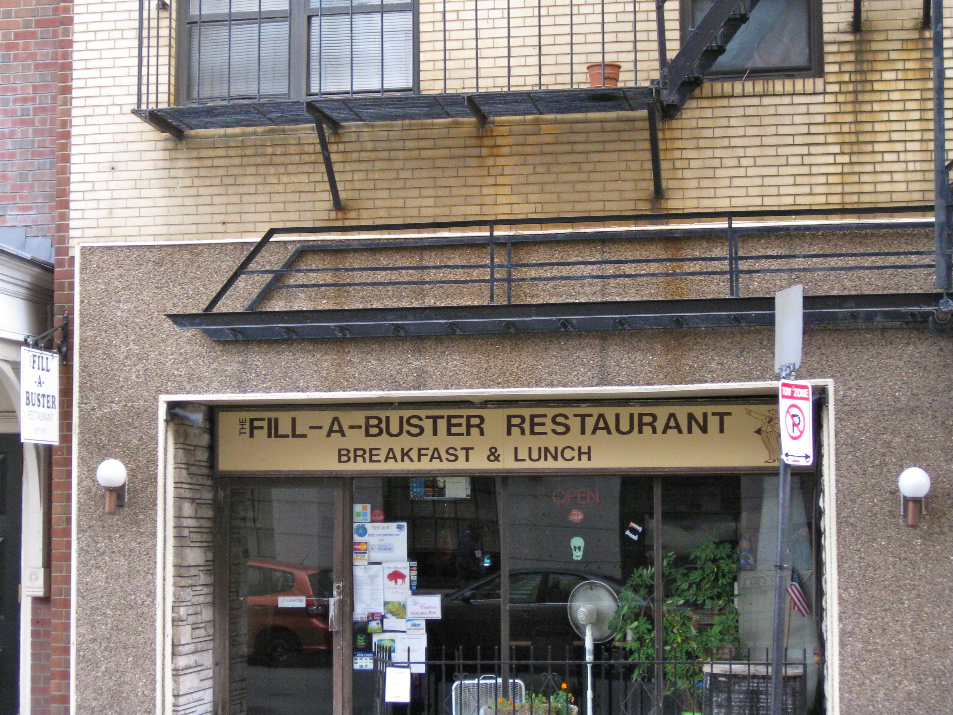
A couple blocks away on Beacon Street near the State House sits this somewhat dingy luncheonette which, at least from the outside hasn’t changed much since it opened in 1977. I haven’t tried it (as with most downtown eating places, it’s only open during working week hours) but I’d be sad if it ever closed for good as it’s part of a vanishing breed gradually being taken over by your Cavas, Sweetgreens and Chipotles.

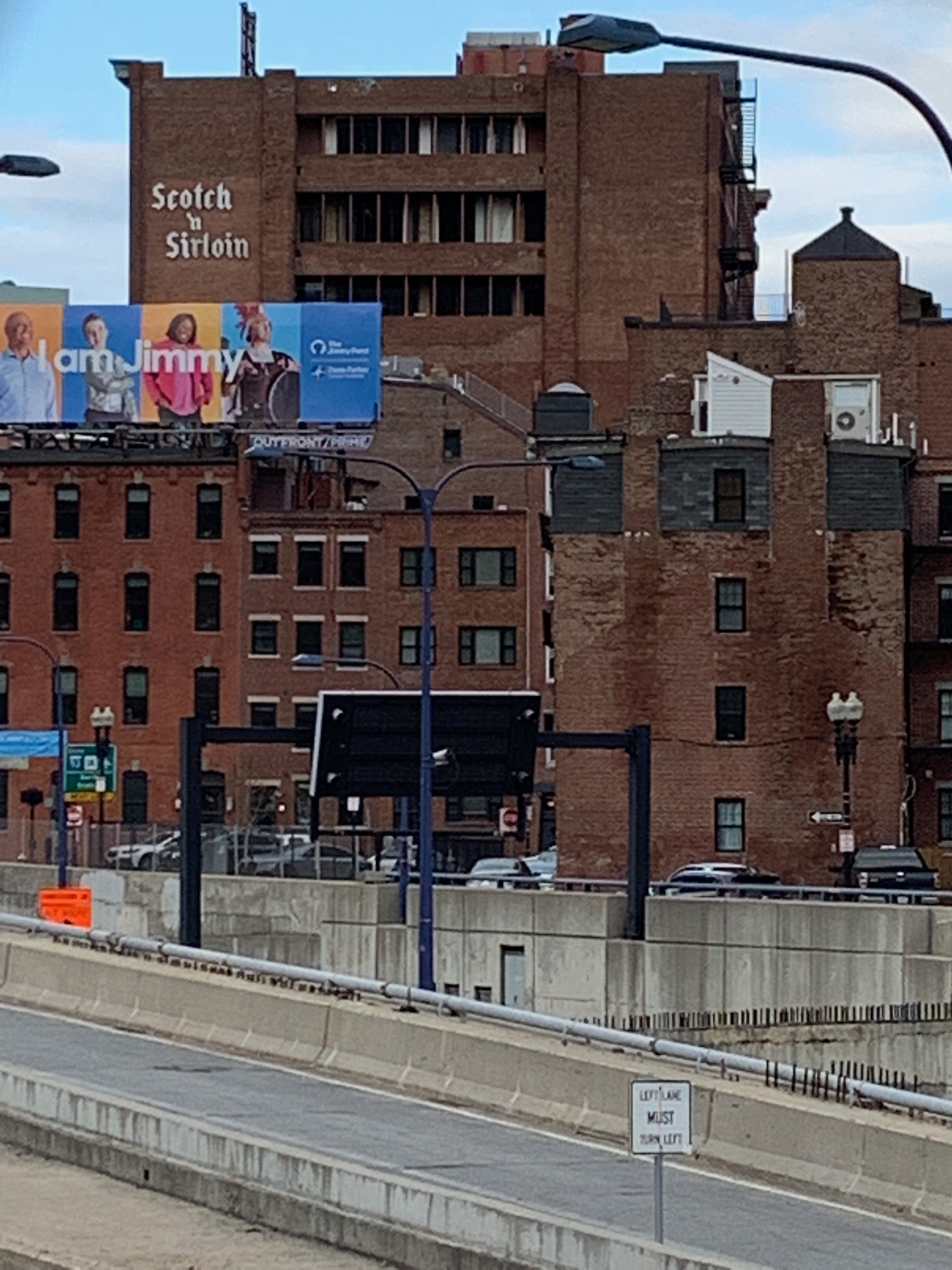
A Google search reveals that Scotch n’ Sirloin, a restaurant overlooking a stretch of I-93 that wasn’t entirely consumed by the Big Dig twenty-odd years ago closed in 1991 and yet the sign remains (the above photo is from December 2020) and likely will until the building gets rehabbed or torn down.

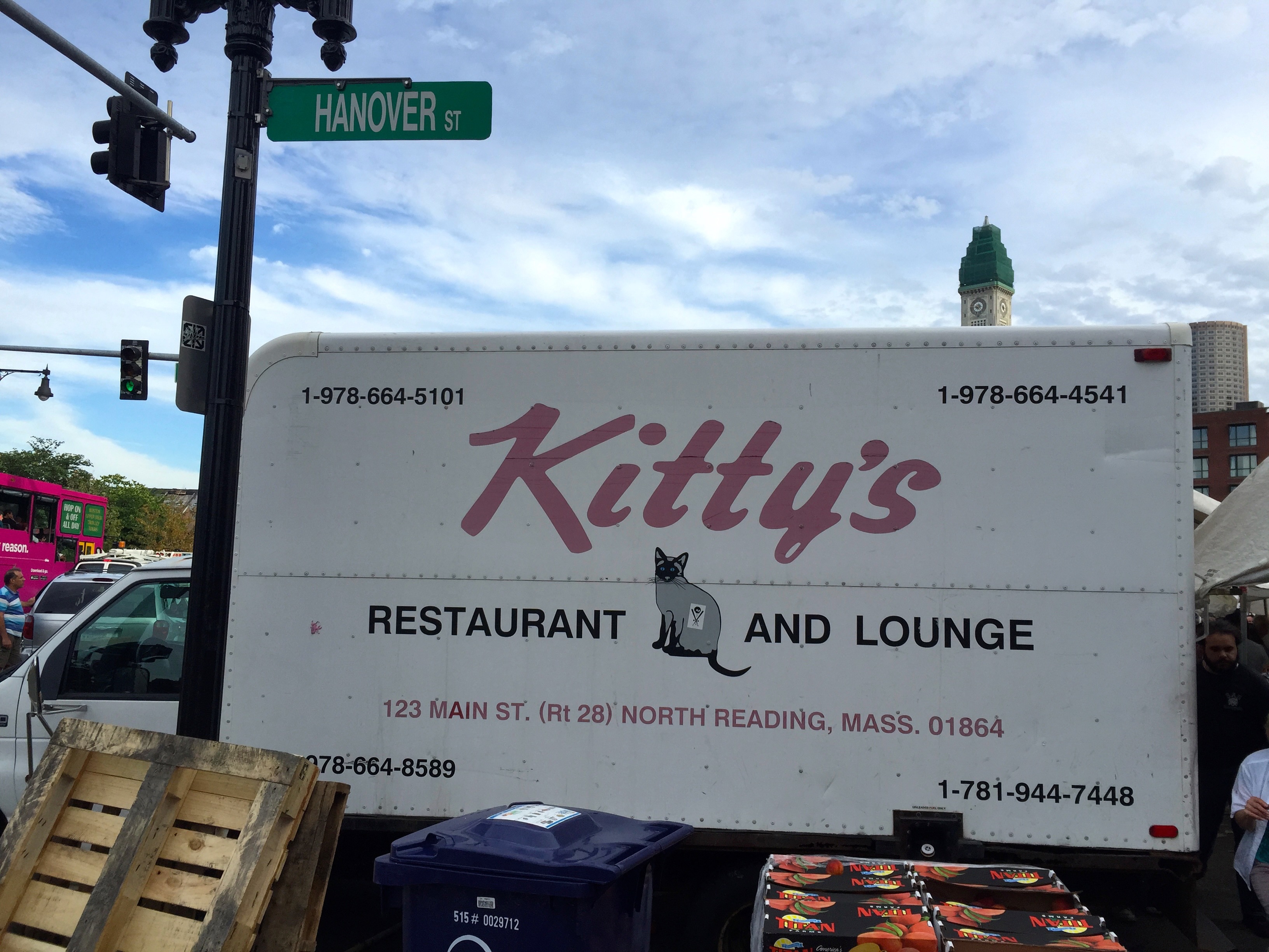
For years, this truck for Kitty’s Restaurant and Lounge in the far North suburbs has been a fixture at Haymarket. I don’t know why, exactly, but it’s always parked there and I rarely fail to notice its distinctive logo.

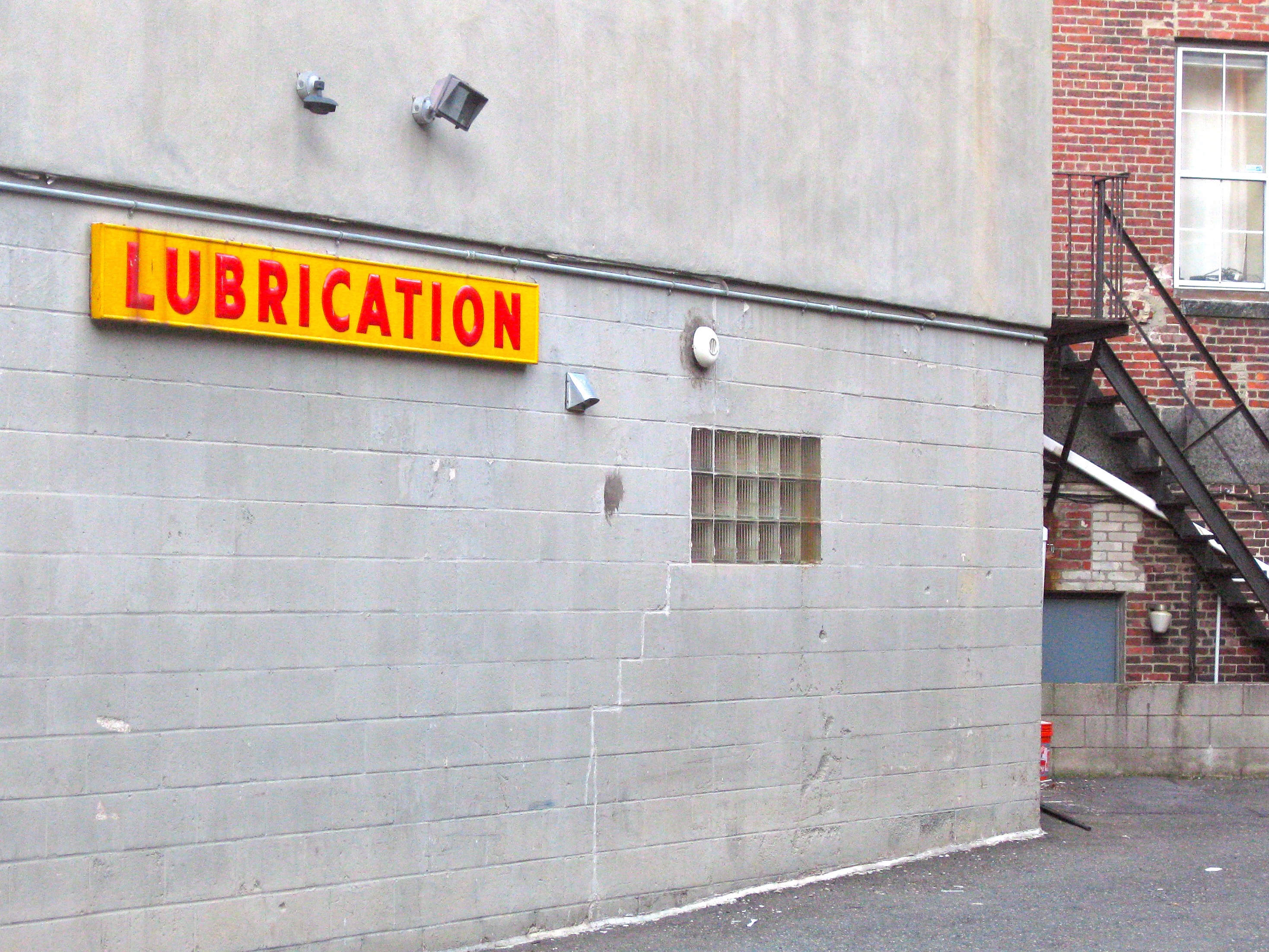
The North End is a tourism Mecca but out-of-towners tend to flock there for the restaurants, the Italian pastries, the Freedom Trail, etc. People actually live there too and occasionally need to service their vehicles (though let’s face it, the word “LUBRICATION” caught my eye more than anything else.)

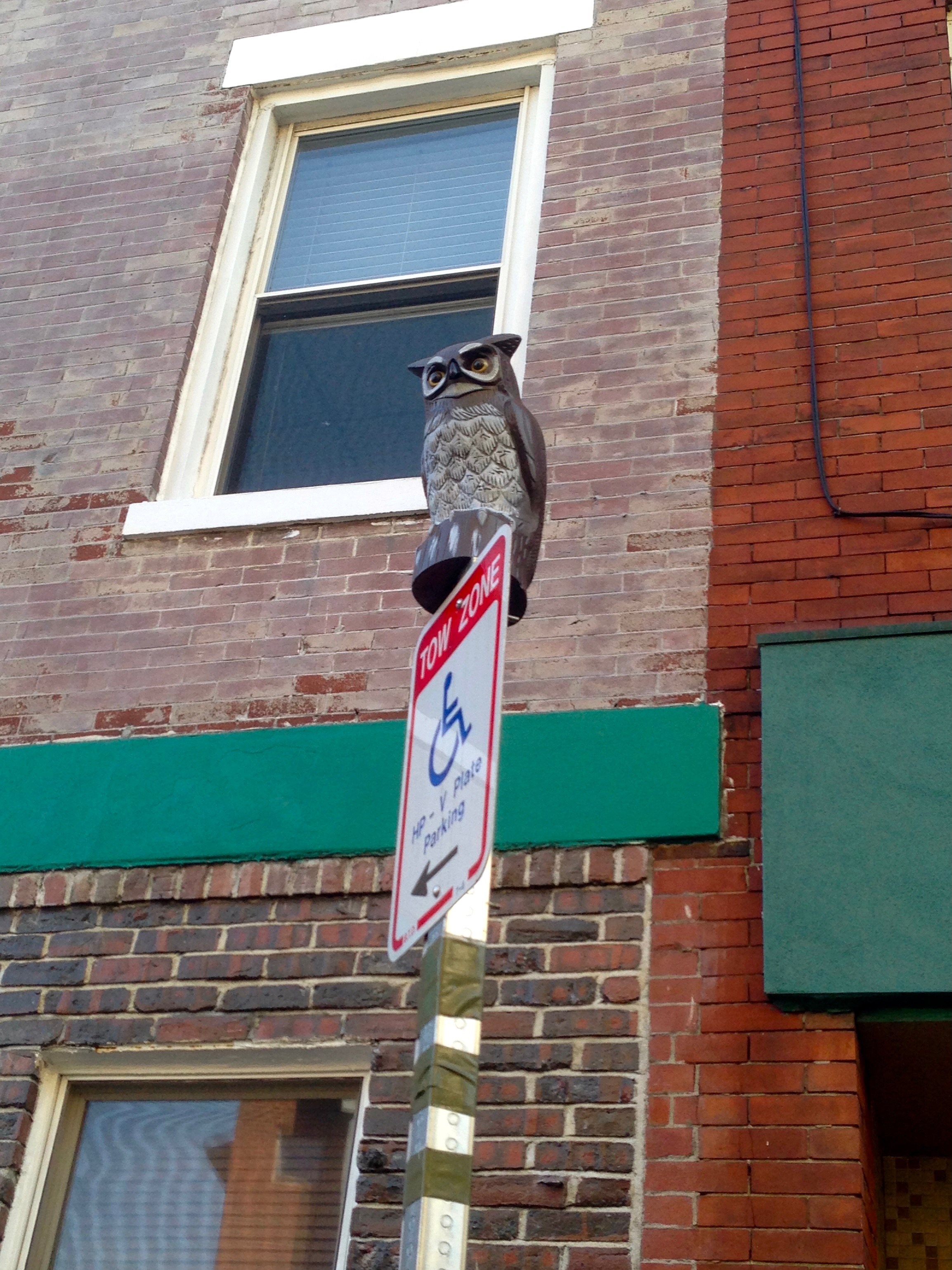
Also spotted in the North End: a fake owl on top of a tow-zone sign. I don’t get it, either.

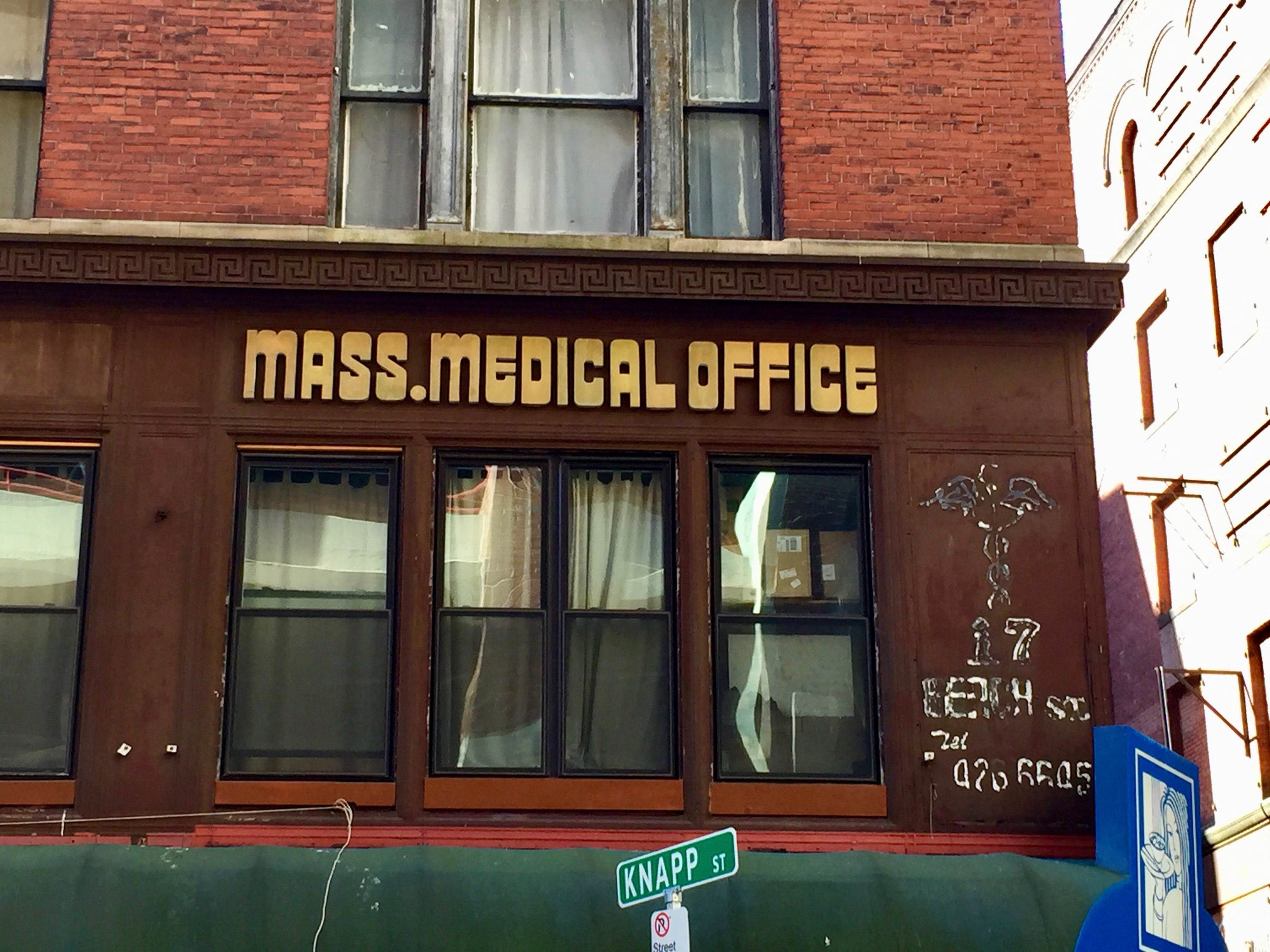
On the opposite end of downtown is Boston’s Chinatown, an ideal spot for Dim Sum but perhaps not so much for those seeking medical attention. My first thought upon seeing this unflashy dated signage in 2015 was, “Oh, really?”; according to Google Maps, work was being done on it as of 2020.

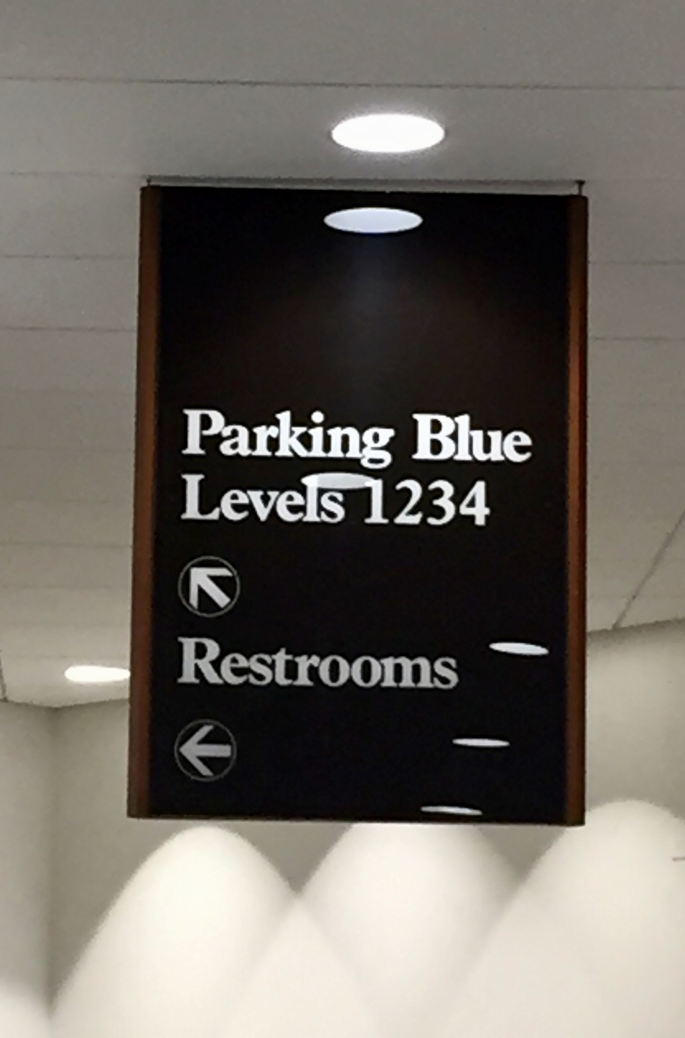
Speaking of dated signage, when Copley Place mall in the Back Bay began finally updating their 1980s-designed interior a few years ago, I knew I had to get a shot of this, located in hallway next to what was then Barney’s (and, long ago, a multiplex cinema with postage-stamp sized theaters) and is now Saks Fifth Avenue Mens’ Store.

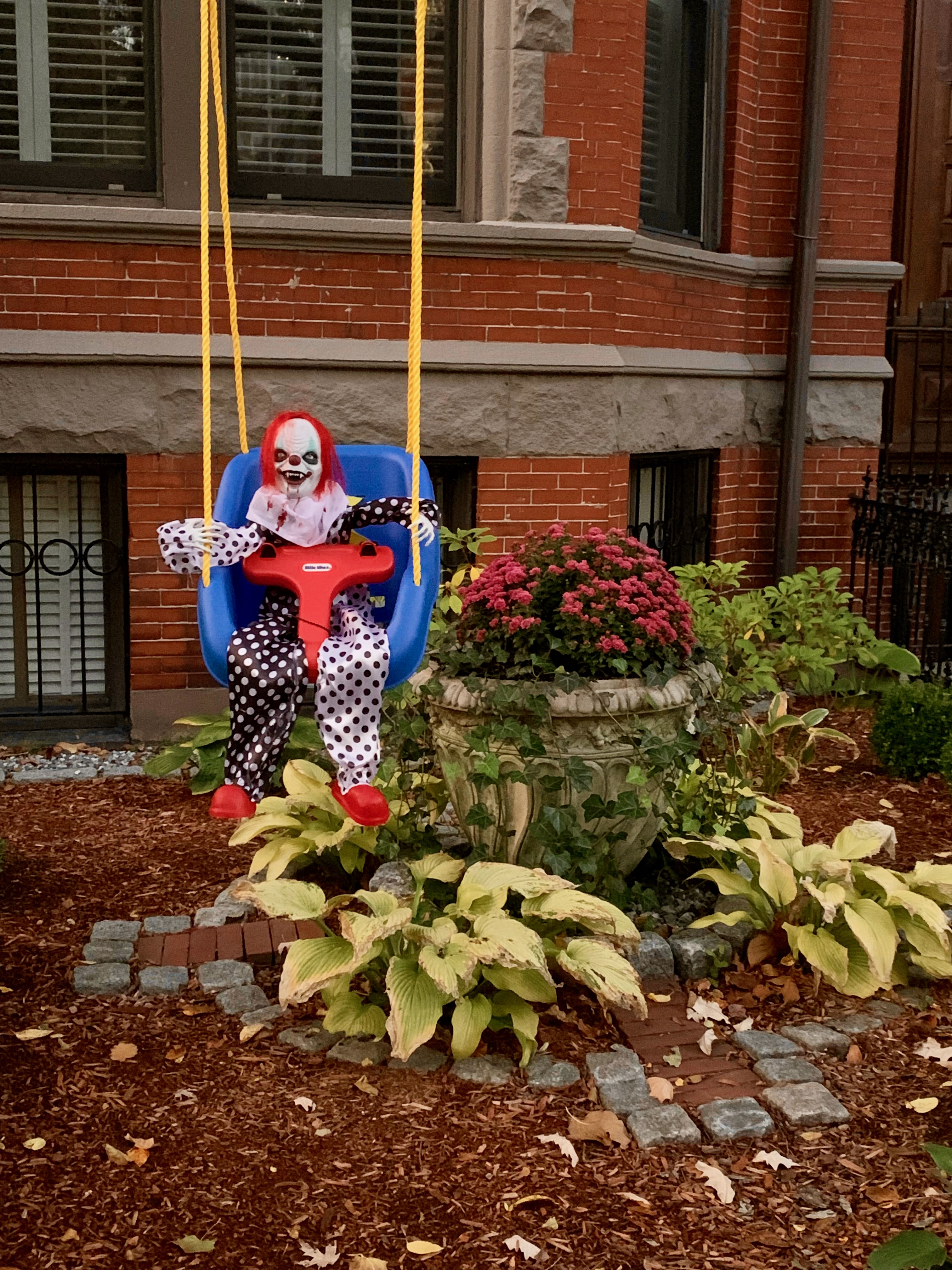
A few blocks from the mall, probably on Marlborough St. or Commonwealth Ave. The neighborhood rivals (probably exceeds) Beacon Hill in terms of wealth, yet I tend to see the most elaborate (not to mention unsettling) Halloween decorations there every year.

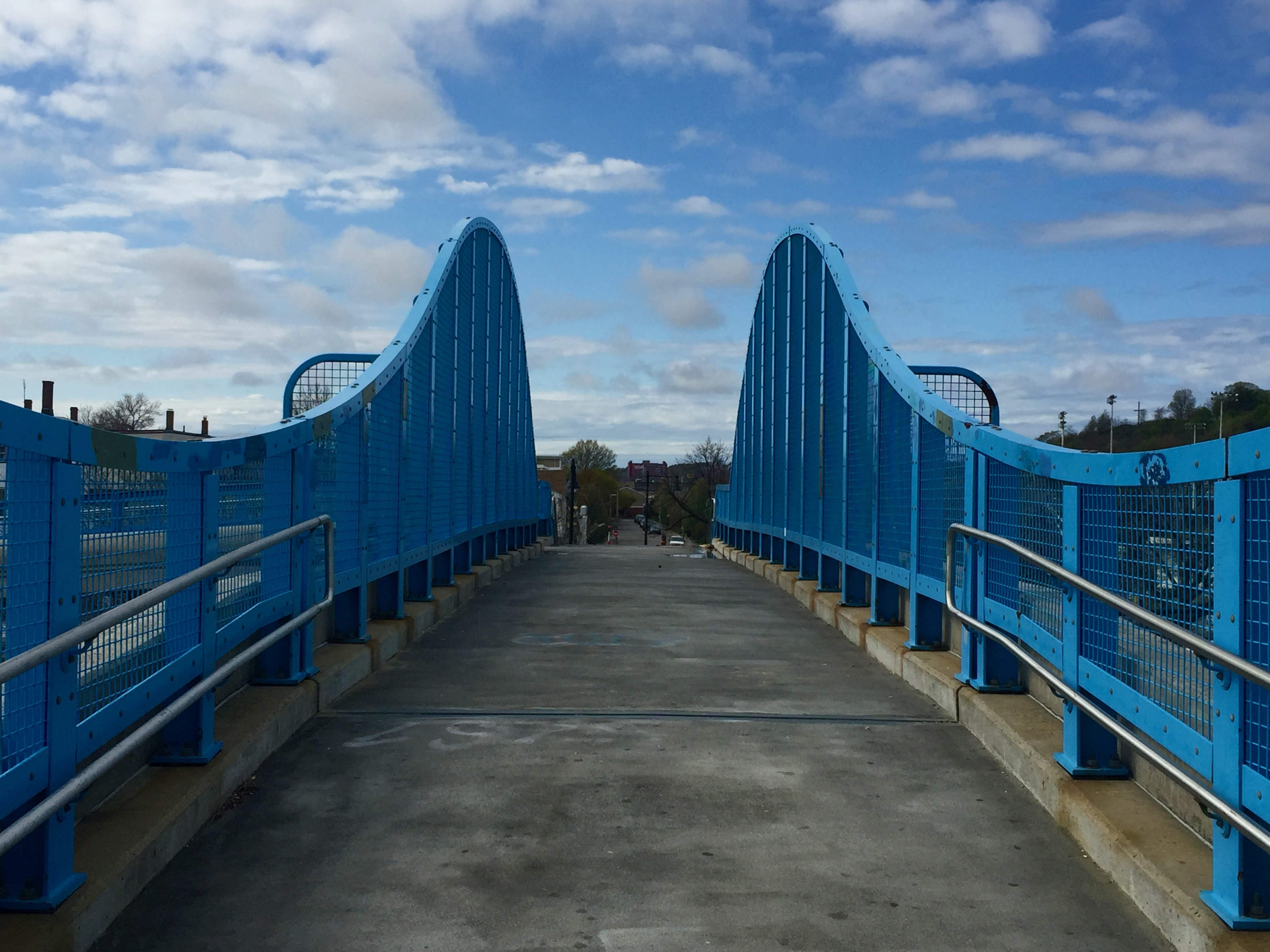
Stepping away from Central Boston, it’s the Marmo Pedestrian Overpass in Orient Heights, a section of East Boston that I visited in May 2016 simply because I could (the Blue Line T goes out there.) It’s a pleasant, unremarkable neighborhood, most notable for Constitution Beach and this colorful footbridge. I posted a bunch of pix from there on my now-defunct Tumblr and maybe I’ll repost some of them here one day.

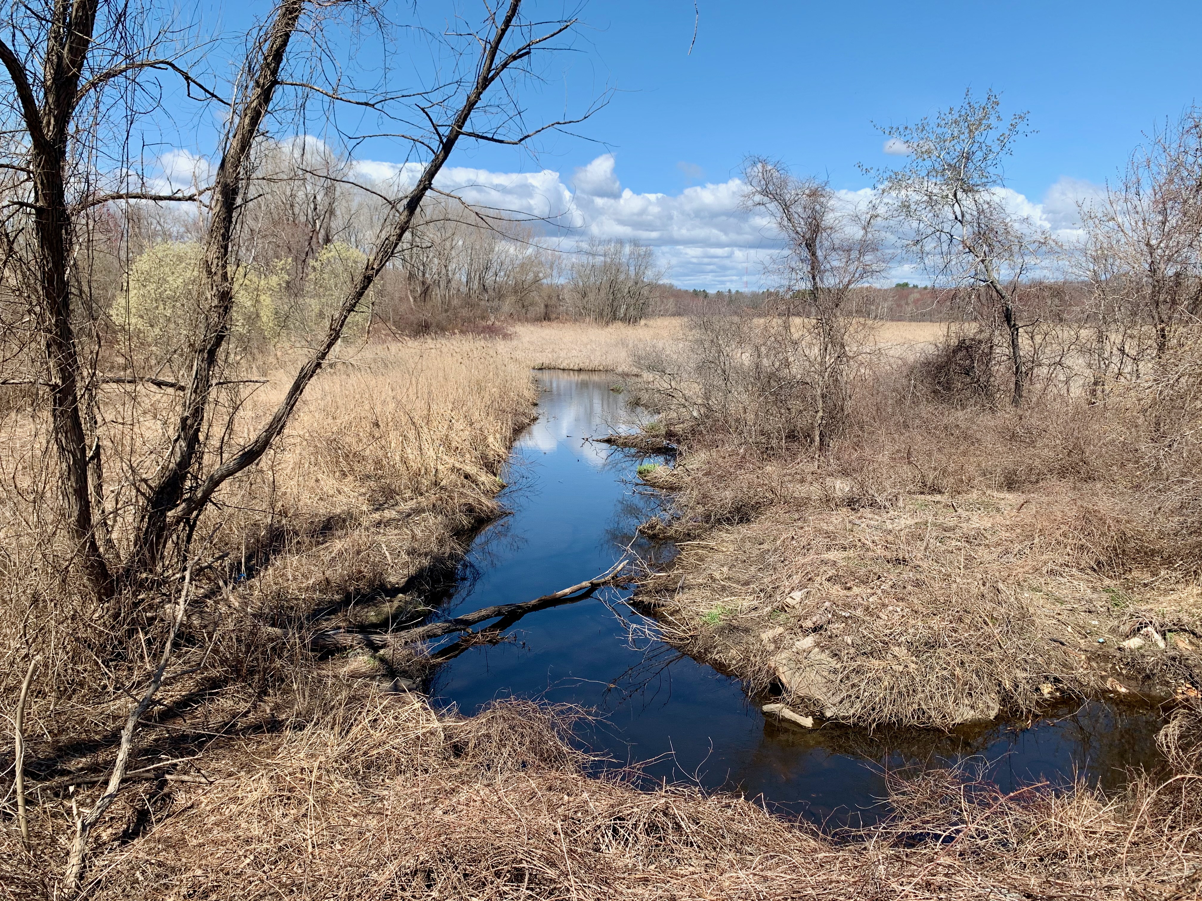
From East Boston to the city’s Westernmost boundary, which happens to be a ten minute walk from where I currently live. I’ll post an entire essay on West Roxbury some other time, but for now, here’s Sawmill Brook at Millennium Park, a vista I’ve taken dozens of shots of over the years; it’s almost as far West as one can go while staying within the city limits.

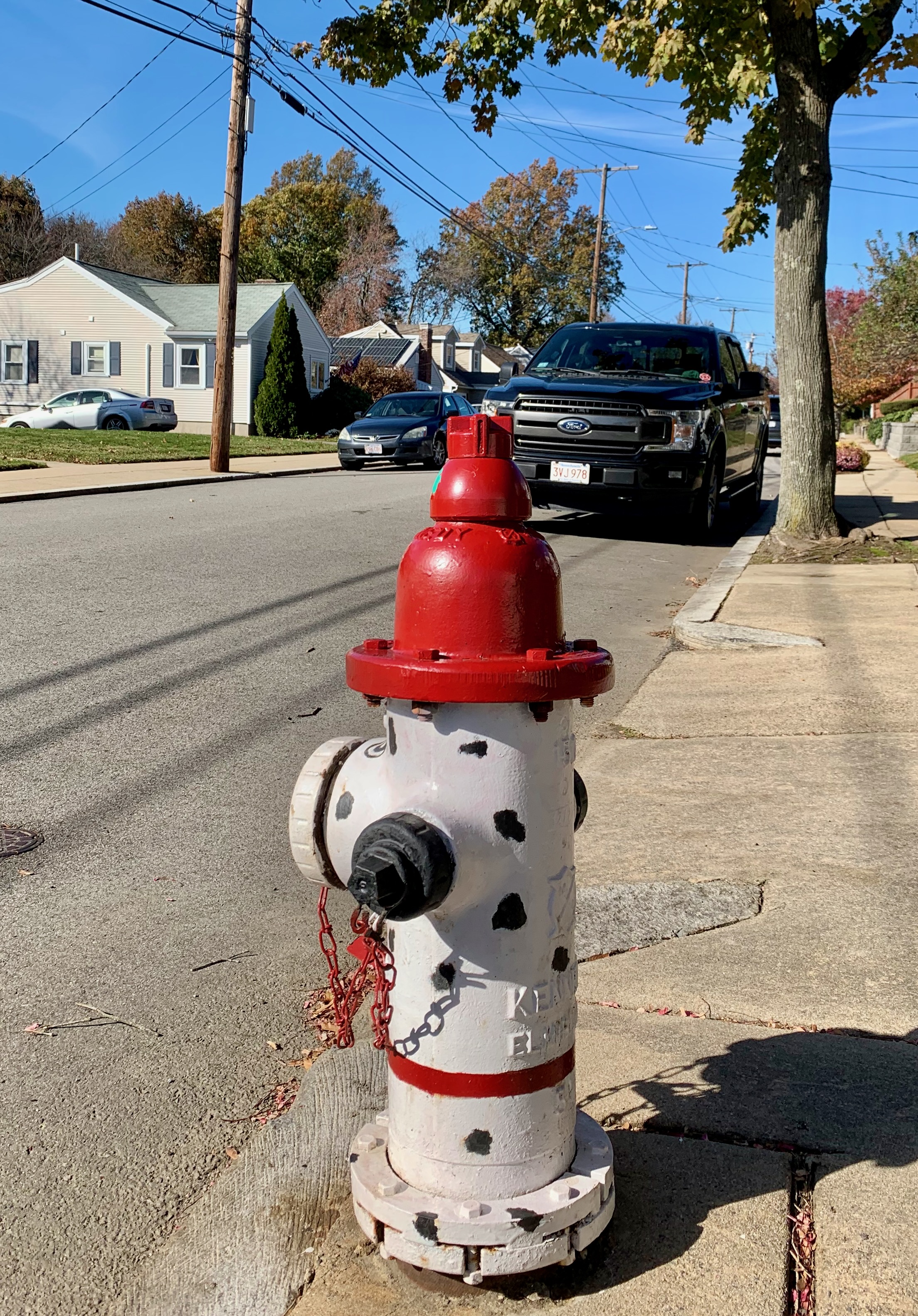
I was going to conclude with this whimsical hydrant on a residential West Roxbury street that I got to know well via many pandemic-era neighborhood walks.

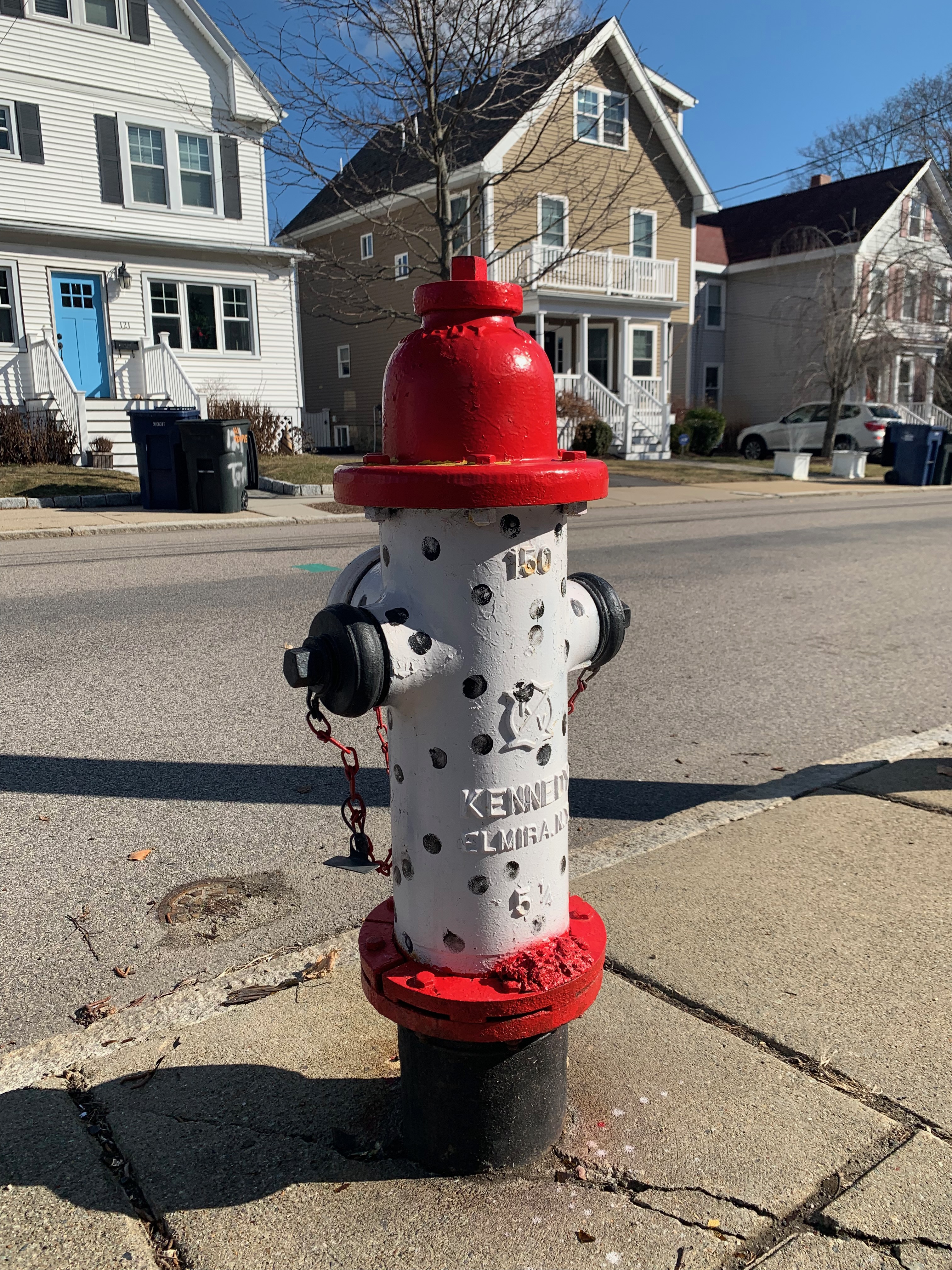
However, I spotted this twin hydrant one street over the other day. Now I’m curious as to whether others exist throughout this neighborhood and beyond. Stay tuned.